La Chaux-de-Fonds night lights from space
Night Light of La Chaux-de-Fonds (Neuchâtel) from space (Switzerland) Src. Average luminocity for 10x10km area is 14.9915% and for 50x50km: 5.4558%.
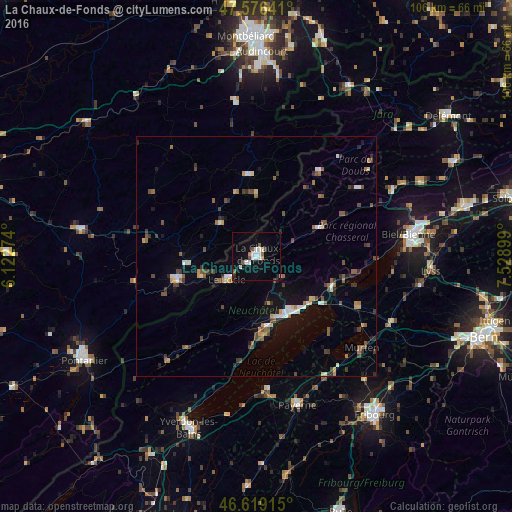
Analysis of La Chaux-de-Fonds night lights 2016
Square area 10x10 km:
 3.55%
3.55%90-99
2.98%80-89
1.14%70-79
0%60-69
1.56%50-59
1.7%40-49
0.99%30-39
0.99%20-29
0.71%10-19
5.68%0-9
80.68%Square area 50x50 km:
0.63%90-99
0.67%80-89
0.4%70-79
0.47%60-69
0.65%50-59
1.04%40-49
0.98%30-39
0.83%20-29
0.86%10-19
2.42%0-9
91.05%Clear (daylight) street map image can be seen on geolist.org.
Map coordinates:
47° 34' 35.1" North, 6° 7' 21.9" East
47° 5' 59.7" North, 6° 49' 33.1" East
46° 37' 8.9" North, 7° 31' 44.4" East
Some cities around La Chaux-de-Fonds sort by population:
• Neuchâtel
14.4 km =8.9 mi,  146°
146°
• Le Locle
7.6 km =4.7 mi,  230°
230°
• Nidau
31.5 km =19.6 mi,  84°
84°
• Morteau, FR
17.2 km =10.7 mi,  254°
254°
• Murten/Morat
29.2 km =18.1 mi,  130°
130°
• Peseux
13.4 km =8.3 mi,  159°
159°
• Saint-Imier
14.2 km =8.8 mi,  65°
65°
• Estavayer-le-Lac
28 km =17.4 mi,  176°
176°
2660076 (p: 36,825)
Sources (retrieved 2019-11-25):
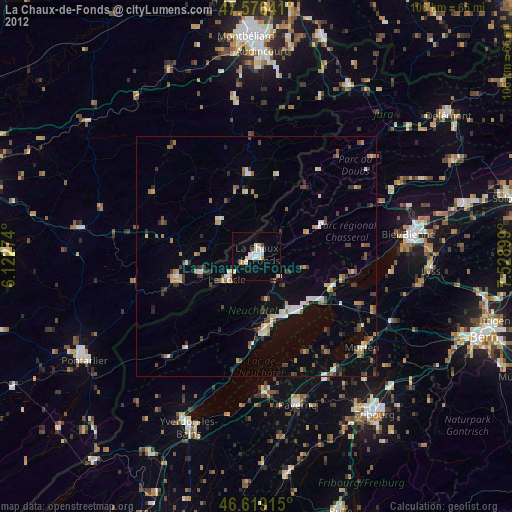
» Earth at Night: Flat Maps 2012, 2016