Whitecourt night lights from space
Night Light of Whitecourt (Alberta) from space (Canada) Src. Average luminocity for 10x10km area is 15.9381% and for 50x50km: 0.771%.
Analysis of Whitecourt night lights 2016
Square area 10x10 km:
 3.28%
3.28%90-99
2.27%80-89
2.53%70-79
1.64%60-69
0.88%50-59
1.52%40-49
1.64%30-39
2.15%20-29
0%10-19
10.61%0-9
73.48%Square area 50x50 km:
0.14%90-99
0.1%80-89
0.1%70-79
0.09%60-69
0.06%50-59
0.07%40-49
0.07%30-39
0.1%20-29
0.11%10-19
0.44%0-9
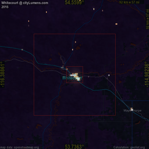
98.73%Clear (daylight) street map image can be seen on geolist.org.
Map coordinates:
54° 33' 35.6" North, 116° 23' 19" West
54° 9' 0.5" North, 115° 41' 7.7" West
53° 44' 10.7" North, 114° 58' 56.5" West
Some cities around Whitecourt sort by population:
• St. Albert
146.1 km =90.8 mi,  113°
113°
• Spruce Grove
134.7 km =83.7 mi,  120°
120°
• Hinton
150.1 km =93.3 mi,  236°
236°
• Stony Plain
130 km =80.8 mi, 121°
• Morinville
138.5 km =86.1 mi, 106°
• Edson
79.9 km =49.6 mi,  217°
217°
• Slave Lake
139.1 km =86.4 mi,  25°
25°
• Drayton Valley
113.6 km =70.6 mi,  156°
156°
6180285 (p: 8,763)
Sources (retrieved 2019-11-25):
» Earth at Night: Flat Maps 2012, 2016