Edson night lights from space
Night Light of Edson (Alberta) from space (Canada) Src. Average luminocity for 10x10km area is 12.5821% and for 50x50km: 0.6836%.
Analysis of Edson night lights 2016
Square area 10x10 km:
 1.26%
1.26%90-99
1.39%80-89
0.76%70-79
2.15%60-69
3.03%50-59
2.53%40-49
1.26%30-39
1.52%20-29
0.51%10-19
1.14%0-9
84.47%Square area 50x50 km:
0.09%90-99
0.06%80-89
0.05%70-79
0.09%60-69
0.14%50-59
0.14%40-49
0.09%30-39
0.06%20-29
0.1%10-19
0.15%0-9
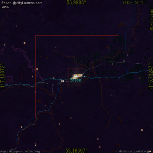
99.03%Clear (daylight) street map image can be seen on geolist.org.
Map coordinates:
53° 59' 55.7" North, 117° 8' 19.4" West
53° 35' 0.4" North, 116° 26' 8.1" West
53° 9' 50.3" North, 115° 43' 56.9" West
Some cities around Edson sort by population:
• Spruce Grove
166.3 km =103.3 mi,  91°
91°
• Hinton
78.8 km =49 mi,  254°
254°
• Stony Plain
160.8 km =99.9 mi, 91°
• Whitecourt
79.9 km =49.6 mi,  37°
37°
• Morinville
184.8 km =114.8 mi,  82°
82°
• Rocky Mountain House
169.1 km =105.1 mi,  143°
143°
• Drayton Valley
104.4 km =64.9 mi,  112°
112°
• Devon
180.3 km =112 mi,  97°
97°
5946820 (p: 7,975)
Sources (retrieved 2019-11-25):
» Earth at Night: Flat Maps 2012, 2016