Drayton Valley night lights from space
Night Light of Drayton Valley (Alberta) from space (Canada) Src. Average luminocity for 10x10km area is 17.1907% and for 50x50km: 0.9462%.
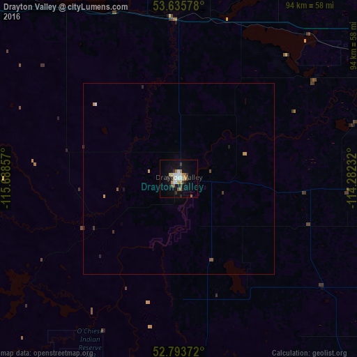
Analysis of Drayton Valley night lights 2016
Square area 10x10 km:
 2.4%
2.4%90-99
2.9%80-89
2.27%70-79
2.02%60-69
2.02%50-59
1.52%40-49
1.64%30-39
2.4%20-29
2.02%10-19
14.39%0-9
66.41%Square area 50x50 km:
0.11%90-99
0.13%80-89
0.09%70-79
0.19%60-69
0.08%50-59
0.11%40-49
0.11%30-39
0.17%20-29
0.12%10-19
0.63%0-9
98.26%Clear (daylight) street map image can be seen on geolist.org.
Map coordinates:
53° 38' 8.8" North, 115° 41' 18.9" West
53° 13' 0.6" North, 114° 59' 7.6" West
52° 47' 37.4" North, 114° 16' 56.4" West
Some cities around Drayton Valley sort by population:
• St. Albert
100.7 km =62.6 mi,  62°
62°
• Spruce Grove
79 km =49.1 mi, 63°
• Leduc
95.5 km =59.3 mi,  86°
86°
• Stony Plain
74.1 km =46 mi, 61°
• Edson
104.4 km =64.9 mi,  292°
292°
• Beaumont
105.2 km =65.4 mi,  81°
81°
• Rocky Mountain House
94.6 km =58.8 mi,  177°
177°
• Devon
84.7 km =52.6 mi, 78°
5942547 (p: 6,099)
Sources (retrieved 2019-11-25):
» Earth at Night: Flat Maps 2012, 2016