Sherbrooke night lights from space
Night Light of Sherbrooke (Quebec) from space (Canada) Src. Average luminocity for 10x10km area is 75.5476% and for 50x50km: 9.4184%.
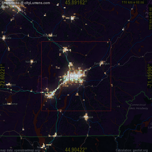
Analysis of Sherbrooke night lights 2016
Square area 10x10 km:
 21.9%
21.9%90-99
21.27%80-89
10%70-79
7.78%60-69
7.3%50-59
13.02%40-49
7.46%30-39
8.25%20-29
3.02%10-19
0%0-9
0%Square area 50x50 km:
1.35%90-99
1.82%80-89
1.09%70-79
0.8%60-69
0.9%50-59
1.38%40-49
1.56%30-39
1.26%20-29
2.52%10-19
6.41%0-9
80.9%Clear (daylight) street map image can be seen on geolist.org.
Map coordinates:
45° 53' 29.8" North, 72° 36' 8" West
45° 24' 0.3" North, 71° 53' 56.7" West
44° 54' 15.2" North, 71° 11' 45.5" West
Some cities around Sherbrooke sort by population:
• Granby
65.1 km =40.5 mi,  270°
270°
• Rock Forest
9 km =5.6 mi,  237°
237°
• Magog
24.5 km =15.2 mi,  232°
232°
• Asbestos
40.9 km =25.4 mi,  356°
356°
• Coaticook
30.7 km =19.1 mi,  165°
165°
• Lac-Brome
52.4 km =32.6 mi,  247°
247°
• Windsor
20.1 km =12.5 mi,  337°
337°
• Acton Vale
58.9 km =36.6 mi,  298°
298°
6146143 (p: 129,447)
Sources (retrieved 2019-11-25):
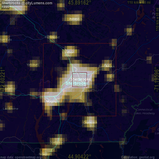
» NASA, Earths city lights 1995
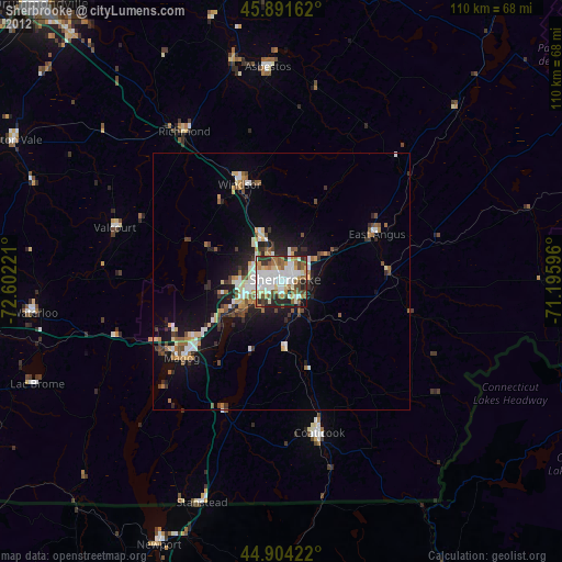
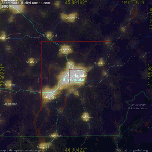
» NASA city lights 2003
» Earth at Night: Flat Maps 2012, 2016