Rock Forest night lights from space
Night Light of Rock Forest (Quebec) from space (Canada) Src. Average luminocity for 10x10km area is 48.4571% and for 50x50km: 9.4627%.
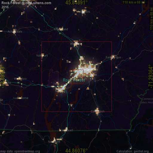
Analysis of Rock Forest night lights 2016
Square area 10x10 km:
 9.05%
9.05%90-99
12.38%80-89
3.97%70-79
3.81%60-69
3.49%50-59
7.14%40-49
14.13%30-39
4.76%20-29
13.33%10-19
26.51%0-9
1.43%Square area 50x50 km:
1.37%90-99
1.83%80-89
1.14%70-79
0.81%60-69
0.92%50-59
1.31%40-49
1.54%30-39
1.27%20-29
2.55%10-19
6.43%0-9
80.82%Clear (daylight) street map image can be seen on geolist.org.
Map coordinates:
45° 50' 56.1" North, 72° 41' 59.6" West
45° 21' 25.2" North, 71° 59' 48.3" West
44° 51' 38.7" North, 71° 17' 37.1" West
Some cities around Rock Forest sort by population:
• Sherbrooke
9 km =5.6 mi,  57°
57°
• Granby
57.7 km =35.9 mi,  274°
274°
• Magog
15.6 km =9.7 mi,  229°
229°
• Asbestos
45.8 km =28.5 mi,  6°
6°
• Coaticook
29.3 km =18.2 mi,  148°
148°
• Lac-Brome
43.5 km =27 mi,  248°
248°
• Windsor
23.3 km =14.5 mi,  359°
359°
• Acton Vale
55 km =34.2 mi,  306°
306°
6126305 (p: 35,500)
Sources (retrieved 2019-11-25):
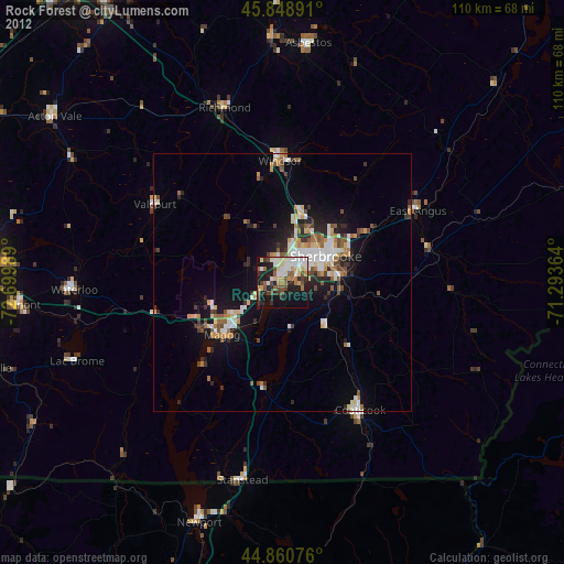
» Earth at Night: Flat Maps 2012, 2016