Coaticook night lights from space
Night Light of Coaticook (Quebec) from space (Canada) Src. Average luminocity for 10x10km area is 11.5758% and for 50x50km: 2.727%.
Analysis of Coaticook night lights 2016
Square area 10x10 km:
 0.45%
0.45%90-99
2.12%80-89
2.27%70-79
2.27%60-69
0.76%50-59
1.97%40-49
0.45%30-39
0.91%20-29
2.42%10-19
1.21%0-9
85.15%Square area 50x50 km:
0.11%90-99
0.35%80-89
0.31%70-79
0.25%60-69
0.24%50-59
0.31%40-49
0.72%30-39
0.34%20-29
1.15%10-19
2.8%0-9
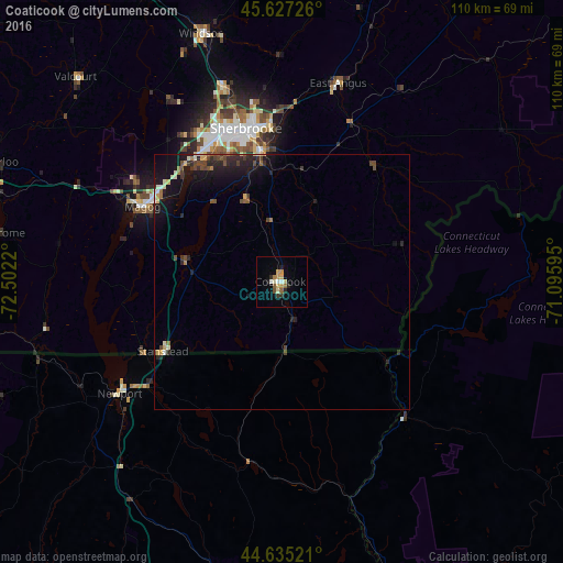
93.43%Clear (daylight) street map image can be seen on geolist.org.
Map coordinates:
45° 37' 38.1" North, 72° 30' 7.9" West
45° 8' 0.2" North, 71° 47' 56.7" West
44° 38' 6.8" North, 71° 5' 45.4" West
Some cities around Coaticook sort by population:
• Sherbrooke
30.7 km =19.1 mi,  345°
345°
• Rock Forest
29.3 km =18.2 mi,  328°
328°
• Magog
31.2 km =19.4 mi,  298°
298°
• Cowansville
74.8 km =46.5 mi,  275°
275°
• Asbestos
71.2 km =44.2 mi, 351°
• Lac-Brome
56.9 km =35.4 mi, 279°
• Lyndon, US
70.8 km =44 mi,  193°
193°
• Windsor
50.7 km =31.5 mi,  342°
342°
5924500 (p: 7,021)
Sources (retrieved 2019-11-25):
» Earth at Night: Flat Maps 2012, 2016