Dollard-Des Ormeaux night lights from space
Night Light of Dollard-Des Ormeaux (Quebec) from space (Canada) Src. Average luminocity for 10x10km area is 91.7635% and for 50x50km: 53.854%.
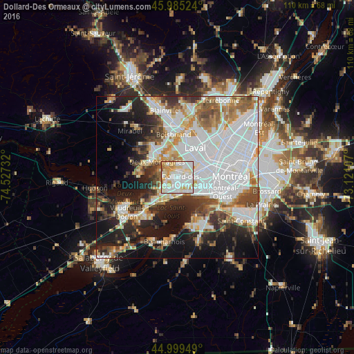
Analysis of Dollard-Des Ormeaux night lights 2016
Square area 10x10 km:
 34.13%
90-99
33.97%80-89
14.29%70-79
10.63%60-69
6.35%50-59
0.63%40-49
0%30-39
0%20-29
0%10-19
0%0-9
0%Square area 50x50 km:
20.14%90-99
11.77%80-89
4.3%70-79
5.31%60-69
5.03%50-59
4.46%40-49
5.4%30-39
5.29%20-29
9.14%10-19
14.4%0-9
14.77%Clear (daylight) street map image can be seen on geolist.org.
Map coordinates:
45° 59' 6.9" North, 74° 31' 38.4" West
45° 29' 40.3" North, 73° 49' 27.1" West
44° 59' 58.2" North, 73° 7' 15.9" West
Some cities around Dollard-Des Ormeaux sort by population:
• Saint-Eustache
10.1 km =6.3 mi,  321°
321°
• Pointe-Claire
5.1 km =3.2 mi,  173°
173°
• Kirkland
5.9 km =3.7 mi,  213°
213°
• Beaconsfield
7.5 km =4.7 mi, 205°
• Dorval
7.6 km =4.7 mi,  133°
133°
• Deux-Montagnes
7.5 km =4.7 mi,  306°
306°
• Sainte-Marthe-sur-le-Lac
9.5 km =5.9 mi,  297°
297°
• Pointe-Calumet
11.1 km =6.9 mi,  273°
273°
5940956 (p: 48,930)
Sources (retrieved 2019-11-25):
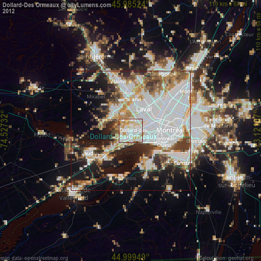
» Earth at Night: Flat Maps 2012, 2016