Rocky Mountain House night lights from space
Night Light of Rocky Mountain House (Alberta) from space (Canada) Src. Average luminocity for 10x10km area is 7.8939% and for 50x50km: 0.4493%.
Analysis of Rocky Mountain House night lights 2016
Square area 10x10 km:
 1.14%
1.14%90-99
0.88%80-89
0.51%70-79
1.26%60-69
1.26%50-59
1.26%40-49
1.26%30-39
1.52%20-29
1.01%10-19
0%0-9
89.9%Square area 50x50 km:
0.05%90-99
0.04%80-89
0.03%70-79
0.07%60-69
0.09%50-59
0.09%40-49
0.05%30-39
0.08%20-29
0.08%10-19
0.08%0-9
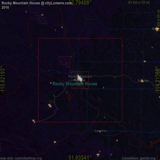
99.33%Clear (daylight) street map image can be seen on geolist.org.
Map coordinates:
52° 47' 38.7" North, 115° 37' 18.9" West
52° 22' 0.6" North, 114° 55' 7.7" West
51° 56' 7.5" North, 114° 12' 56.4" West
Some cities around Rocky Mountain House sort by population:
• Red Deer
76.7 km =47.7 mi,  98°
98°
• Airdrie
133.2 km =82.8 mi,  152°
152°
• Wetaskiwin
124 km =77.1 mi,  57°
57°
• Sylvan Lake
57.1 km =35.5 mi, 96°
• Lacombe
81 km =50.3 mi,  82°
82°
• Olds
85.6 km =53.2 mi,  139°
139°
• Ponoka
96.8 km =60.1 mi,  69°
69°
• Drayton Valley
94.6 km =58.8 mi,  357°
357°
6126749 (p: 6,527)
Sources (retrieved 2019-11-25):
» Earth at Night: Flat Maps 2012, 2016