Red Deer night lights from space
Night Light of Red Deer (Alberta) from space (Canada) Src. Average luminocity for 10x10km area is 62.2434% and for 50x50km: 5.8981%.
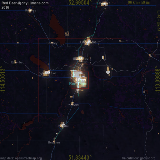
Analysis of Red Deer night lights 2016
Square area 10x10 km:
 16.14%
90-99
19.97%80-89
6.08%70-79
8.07%60-69
6.08%50-59
4.37%40-49
3.31%30-39
7.28%20-29
12.7%10-19
14.95%0-9
1.06%Square area 50x50 km:
1.07%90-99
1.24%80-89
0.43%70-79
0.82%60-69
0.67%50-59
0.5%40-49
0.51%30-39
0.67%20-29
1.5%10-19
3.37%0-9
89.23%Clear (daylight) street map image can be seen on geolist.org.
Map coordinates:
52° 41' 42.1" North, 114° 30' 18.5" West
52° 16' 0.6" North, 113° 48' 7.2" West
51° 50' 3.9" North, 113° 5' 56" West
Some cities around Red Deer sort by population:
• Camrose
105.9 km =65.8 mi,  38°
38°
• Wetaskiwin
83.1 km =51.6 mi,  20°
20°
• Sylvan Lake
19.8 km =12.3 mi,  284°
284°
• Lacombe
22.7 km =14.1 mi,  11°
11°
• Olds
57.5 km =35.7 mi,  200°
200°
• Ponoka
48 km =29.8 mi, 18°
• Rocky Mountain House
76.7 km =47.7 mi, 278°
• Stettler
73.9 km =45.9 mi,  85°
85°
6118158 (p: 73,593)
Sources (retrieved 2019-11-25):
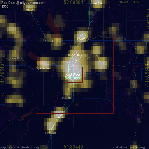
» NASA, Earths city lights 1995
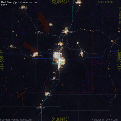
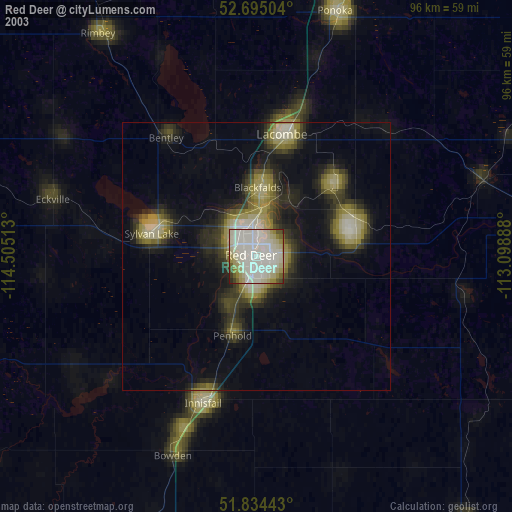
» NASA city lights 2003
» Earth at Night: Flat Maps 2012, 2016