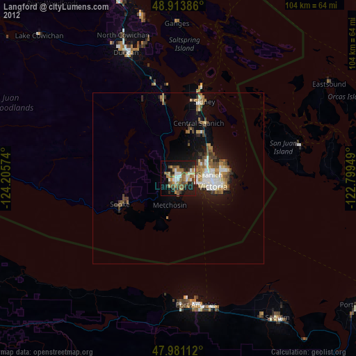
Langford night lights from space
Night Light of Langford (British Columbia) from space (Canada) Src. Average luminocity for 10x10km area is 33.2188% and for 50x50km: 5.9697%.

Analysis of Langford night lights 2016
Square area 10x10 km:
 5.54%
5.54%90-99
5.26%80-89
1.56%70-79
3.13%60-69
4.83%50-59
5.26%40-49
7.39%30-39
3.69%20-29
15.06%10-19
27.56%0-9
20.74%Square area 50x50 km:
1.13%90-99
1.19%80-89
0.37%70-79
0.4%60-69
0.82%50-59
0.81%40-49
1%30-39
0.67%20-29
1.77%10-19
3.75%0-9
88.09%Clear (daylight) street map image can be seen on geolist.org.
Map coordinates:
48° 54' 49.9" North, 124° 12' 20.7" West
48° 26' 58.7" North, 123° 30' 9.4" West
47° 58' 52" North, 122° 47' 58.2" West
Some cities around Langford sort by population:
• Victoria
11.2 km =7 mi,  97°
97°
• Duncan
39.9 km =24.8 mi,  338°
338°
• Port Angeles, US
37.2 km =23.1 mi,  171°
171°
• Oak Bay
14.8 km =9.2 mi,  89°
89°
• Colwood
2.2 km =1.4 mi,  146°
146°
• North Saanich
24.9 km =15.5 mi,  14°
14°
• Salt Spring Island
41 km =25.5 mi,  1°
1°
• Sooke
18.6 km =11.6 mi,  243°
243°
6049388 (p: 22,459)
Sources (retrieved 2019-11-25):
» Earth at Night: Flat Maps 2012, 2016