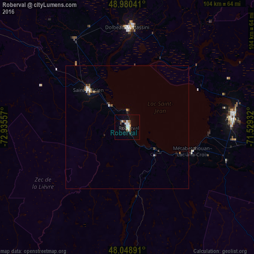
Roberval night lights from space
Night Light of Roberval (Quebec) from space (Canada) Src. Average luminocity for 10x10km area is 12.2884% and for 50x50km: 1.1592%.
Analysis of Roberval night lights 2016
Square area 10x10 km:
 1.56%
1.56%90-99
3.13%80-89
1.56%70-79
0%60-69
0.57%50-59
1.7%40-49
1.42%30-39
2.56%20-29
1.28%10-19
2.7%0-9
83.52%Square area 50x50 km:
0.14%90-99
0.25%80-89
0.09%70-79
0.05%60-69
0.09%50-59
0.17%40-49
0.2%30-39
0.23%20-29
0.16%10-19
0.18%0-9
98.45%Clear (daylight) street map image can be seen on geolist.org.
Map coordinates:
48° 58' 49.5" North, 72° 56' 8.1" West
48° 31' 0.5" North, 72° 13' 56.8" West
48° 2' 56.1" North, 71° 31' 45.6" West
Some cities around Roberval sort by population:
• Saguenay
86.7 km =53.9 mi,  97°
97°
• Jonquière
73.4 km =45.6 mi, 98°
• Alma
43.1 km =26.8 mi,  85°
85°
• Dolbeau-Mistassini
40.2 km =25 mi,  0°
0°
• La Tuque
127.2 km =79 mi,  198°
198°
• Saint-Félicien
21.8 km =13.5 mi,  312°
312°
• Pont Rouge
42.2 km =26.2 mi,  15°
15°
• Pointe-du-Lac
33.2 km =20.6 mi, 93°
6125653 (p: 9,287)
Sources (retrieved 2019-11-25):
» Earth at Night: Flat Maps 2012, 2016