Pointe-du-Lac night lights from space
Night Light of Pointe-du-Lac (Quebec) from space (Canada) Src. Average luminocity for 10x10km area is 0.7045% and for 50x50km: 1.6579%.
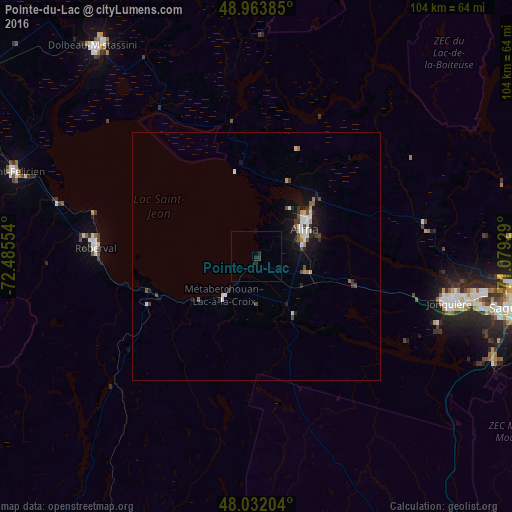
Analysis of Pointe-du-Lac night lights 2016
Square area 10x10 km:
 0%
0%90-99
0%80-89
0%70-79
0%60-69
0%50-59
0%40-49
0%30-39
0.71%20-29
1.56%10-19
0%0-9
97.73%Square area 50x50 km:
0.23%90-99
0.29%80-89
0.15%70-79
0.17%60-69
0.11%50-59
0.14%40-49
0.34%30-39
0.26%20-29
0.31%10-19
1.46%0-9
96.54%Clear (daylight) street map image can be seen on geolist.org.
Map coordinates:
48° 57' 49.9" North, 72° 29' 7.9" West
48° 30' 0.3" North, 71° 46' 56.7" West
48° 1' 55.3" North, 71° 4' 45.4" West
Some cities around Pointe-du-Lac sort by population:
• Saguenay
53.7 km =33.4 mi,  99°
99°
• Jonquière
40.4 km =25.1 mi, 103°
• Alma
11.3 km =7 mi,  60°
60°
• Dolbeau-Mistassini
53.5 km =33.2 mi,  321°
321°
• La Tuque
140 km =87 mi,  212°
212°
• Roberval
33.2 km =20.6 mi,  273°
273°
• Saint-Félicien
51.8 km =32.2 mi,  288°
288°
• Pont Rouge
48 km =29.8 mi,  332°
332°
6107683 (p: 7,104)
Sources (retrieved 2019-11-25):
» Earth at Night: Flat Maps 2012, 2016