Chibougamau night lights from space
Night Light of Chibougamau (Quebec) from space (Canada) Src. Average luminocity for 10x10km area is 5.8123% and for 50x50km: 0.2879%.
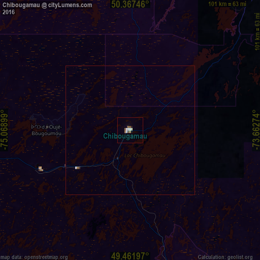
Analysis of Chibougamau night lights 2016
Square area 10x10 km:
 1.26%
1.26%90-99
1.26%80-89
0.28%70-79
0%60-69
0.7%50-59
2.1%40-49
0.56%30-39
0%20-29
0.42%10-19
0.14%0-9
93.28%Square area 50x50 km:
0.07%90-99
0.05%80-89
0.01%70-79
0%60-69
0.03%50-59
0.11%40-49
0.02%30-39
0.03%20-29
0.04%10-19
0.01%0-9
99.63%Clear (daylight) street map image can be seen on geolist.org.
Map coordinates:
50° 22' 2.9" North, 75° 4' 8.4" West
49° 55' 0.6" North, 74° 21' 57.1" West
49° 27' 43.1" North, 73° 39' 45.9" West
Some cities around Chibougamau sort by population:
• Saguenay
292.2 km =181.6 mi,  124°
124°
• Jonquière
281.4 km =174.9 mi,  126°
126°
• Alma
249 km =154.7 mi, 127°
• Dolbeau-Mistassini
192.8 km =119.8 mi, 126°
• Roberval
219.6 km =136.5 mi,  135°
135°
• Saint-Félicien
197.9 km =123 mi, 135°
• Pont Rouge
201.2 km =125 mi, 124°
• Pointe-du-Lac
245 km =152.2 mi, 130°
5921147 (p: 7,563)
Sources (retrieved 2019-11-25):
» Earth at Night: Flat Maps 2012, 2016