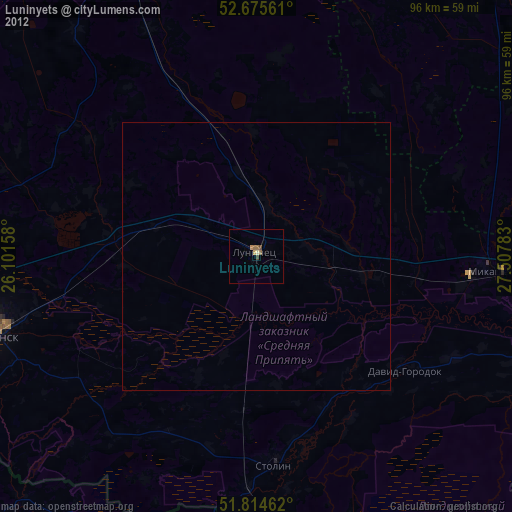
Luninyets night lights from space
Night Light of Luninyets (Brest) from space (Belarus) Src. Average luminocity for 10x10km area is 2.9193% and for 50x50km: 0.1426%.
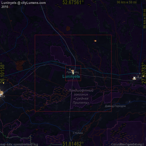
Analysis of Luninyets night lights 2016
Square area 10x10 km:
 0%
0%90-99
0%80-89
0.53%70-79
0.53%60-69
1.46%50-59
0.66%40-49
0.79%30-39
0.26%20-29
0%10-19
0%0-9
95.77%Square area 50x50 km:
0%90-99
0%80-89
0.02%70-79
0.03%60-69
0.07%50-59
0.03%40-49
0.05%30-39
0.01%20-29
0%10-19
0%0-9
99.79%Clear (daylight) street map image can be seen on geolist.org.
Map coordinates:
52° 40' 32.2" North, 26° 6' 5.7" East
52° 14' 49.9" North, 26° 48' 16.9" East
51° 48' 52.6" North, 27° 30' 28.2" East
Some cities around Luninyets sort by population:
• Pinsk
50.3 km =31.3 mi,  254°
254°
• Mikashevichy
45.8 km =28.5 mi,  94°
94°
• Hantsavichy
62.2 km =38.6 mi,  335°
335°
• Zhytkavichy
71.7 km =44.6 mi, 92°
• Stolin
39.7 km =24.7 mi,  175°
175°
• Davyd-Haradok
35.2 km =21.9 mi,  127°
127°
• Zarichne, UA
66.9 km =41.6 mi,  223°
223°
• Starobin
69.4 km =43.1 mi,  39°
39°
625818 (p: 25,000)
Sources (retrieved 2019-11-25):
» Earth at Night: Flat Maps 2012, 2016