Baran’ night lights from space
Night Light of Baran’ (Vitebsk) from space (Belarus) Src. Average luminocity for 10x10km area is 10.9234% and for 50x50km: 1.4306%.
Analysis of Baran’ night lights 2016
Square area 10x10 km:
 2.03%
2.03%90-99
2.51%80-89
2.63%70-79
0.72%60-69
0.96%50-59
0.12%40-49
0%30-39
0.72%20-29
0.96%10-19
10.77%0-9
78.59%Square area 50x50 km:
0.23%90-99
0.37%80-89
0.19%70-79
0.14%60-69
0.09%50-59
0.03%40-49
0.05%30-39
0.05%20-29
0.22%10-19
1.72%0-9
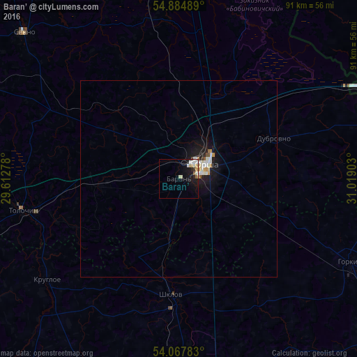
96.89%Clear (daylight) street map image can be seen on geolist.org.
Map coordinates:
54° 53' 5.6" North, 29° 36' 46" East
54° 28' 42.2" North, 30° 18' 57.2" East
54° 4' 4.2" North, 31° 1' 8.5" East
Some cities around Baran’ sort by population:
• Mahilyow
62.5 km =38.8 mi,  178°
178°
• Orsha
7.3 km =4.5 mi,  63°
63°
• Horki
48.4 km =30.1 mi,  116°
116°
• Shklow
29.6 km =18.4 mi, 183°
• Talachyn
40.9 km =25.4 mi,  259°
259°
• Syanno
53.8 km =33.4 mi,  313°
313°
• Dubrowna
26.3 km =16.3 mi,  66°
66°
• Kruhlaye
42.2 km =26.2 mi,  232°
232°
630431 (p: 11,600)
Sources (retrieved 2019-11-25):
» Earth at Night: Flat Maps 2012, 2016