Rakaw night lights from space
Night Light of Rakaw (Minsk) from space (Belarus) Src. Average luminocity for 10x10km area is 0.5913% and for 50x50km: 2.5775%.
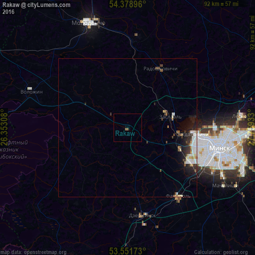
Analysis of Rakaw night lights 2016
Square area 10x10 km:
 0%
0%90-99
0%80-89
0%70-79
0%60-69
0%50-59
1.06%40-49
0%30-39
0%20-29
0%10-19
0%0-9
98.94%Square area 50x50 km:
0.56%90-99
0.54%80-89
0.29%70-79
0.12%60-69
0.19%50-59
0.23%40-49
0.32%30-39
0.44%20-29
0.79%10-19
1.52%0-9
94.98%Clear (daylight) street map image can be seen on geolist.org.
Map coordinates:
54° 22' 44.3" North, 26° 21' 11.1" East
53° 58' 2.6" North, 27° 3' 22.3" East
53° 33' 6.2" North, 27° 45' 33.6" East
Some cities around Rakaw sort by population:
• Minsk
34.2 km =21.3 mi,  102°
102°
• Maladzyechna
41 km =25.5 mi,  341°
341°
• Dzyarzhynsk
32.1 km =19.9 mi,  170°
170°
• Zaslawye
14.8 km =9.2 mi,  70°
70°
• Fanipol
30.2 km =18.8 mi,  143°
143°
• Valozhyn
37.1 km =23.1 mi,  291°
291°
• Radashkovichy
24.1 km =15 mi,  30°
30°
• Chyst’
33.8 km =21 mi,  5°
5°
622849 (p: 6,300)
Sources (retrieved 2019-11-25):
» Earth at Night: Flat Maps 2012, 2016