Haradok night lights from space
Night Light of Haradok (Vitebsk) from space (Belarus) Src. Average luminocity for 10x10km area is 0% and for 50x50km: 0.3135%.
Analysis of Haradok night lights 2016
Square area 10x10 km:
 0%
0%90-99
0%80-89
0%70-79
0%60-69
0%50-59
0%40-49
0%30-39
0%20-29
0%10-19
0%0-9
100%Square area 50x50 km:
0.01%90-99
0.03%80-89
0.04%70-79
0%60-69
0.05%50-59
0.09%40-49
0.01%30-39
0.02%20-29
0.02%10-19
0.42%0-9
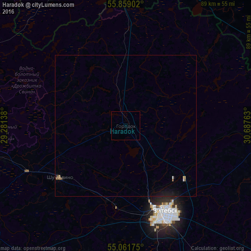
99.31%Clear (daylight) street map image can be seen on geolist.org.
Map coordinates:
55° 51' 32.5" North, 29° 16' 53" East
55° 27' 44.6" North, 29° 59' 4.2" East
55° 3' 42.3" North, 30° 41' 15.5" East
Some cities around Haradok sort by population:
• Vitebsk
33.3 km =20.7 mi,  155°
155°
• Navapolatsk
87.6 km =54.4 mi,  275°
275°
• Polatsk
75.6 km =47 mi,  272°
272°
• Nevel’, RU
62.2 km =38.6 mi,  356°
356°
• Chashniki
85.1 km =52.9 mi,  217°
217°
• Syanno
74.5 km =46.3 mi,  193°
193°
• Velizh, RU
77.9 km =48.4 mi,  78°
78°
• Lyozna
70.9 km =44.1 mi,  133°
133°
628155 (p: 13,380)
Sources (retrieved 2019-11-25):
» Earth at Night: Flat Maps 2012, 2016