Horki night lights from space
Night Light of Horki (Mogilev) from space (Belarus) Src. Average luminocity for 10x10km area is 0.1015% and for 50x50km: 0.0042%.
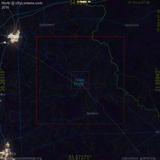
Analysis of Horki night lights 2016
Square area 10x10 km:
 0%
0%90-99
0%80-89
0%70-79
0%60-69
0%50-59
0%40-49
0%30-39
0%20-29
0.13%10-19
0.38%0-9
99.5%Square area 50x50 km:
0%90-99
0%80-89
0%70-79
0%60-69
0%50-59
0%40-49
0%30-39
0%20-29
0.01%10-19
0.02%0-9
99.98%Clear (daylight) street map image can be seen on geolist.org.
Map coordinates:
54° 41' 40.6" North, 30° 16' 59.4" East
54° 17' 10.3" North, 30° 59' 10.7" East
53° 52' 25.4" North, 31° 41' 21.9" East
Some cities around Horki sort by population:
• Mahilyow
58.6 km =36.4 mi,  225°
225°
• Orsha
44.3 km =27.5 mi,  303°
303°
• Shklow
46.1 km =28.6 mi,  259°
259°
• Baran’
48.4 km =30.1 mi, 296°
• Mstsislaw
56.4 km =35 mi,  121°
121°
• Chavusy
53 km =32.9 mi,  181°
181°
• Rudnya, RU
73.8 km =45.9 mi,  5°
5°
• Dubrowna
37 km =23 mi,  328°
328°
627905 (p: 33,897)
Sources (retrieved 2019-11-25):
» Earth at Night: Flat Maps 2012, 2016