Ramotswa night lights from space
Night Light of Ramotswa (South-East) from space (Botswana) Src. Average luminocity for 10x10km area is 15.6932% and for 50x50km: 4.844%.
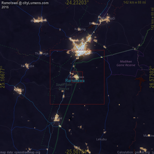
Analysis of Ramotswa night lights 2016
Square area 10x10 km:
 0%
0%90-99
0%80-89
1.33%70-79
6.63%60-69
1.89%50-59
3.79%40-49
3.79%30-39
2.27%20-29
1.33%10-19
2.08%0-9
76.89%Square area 50x50 km:
0.71%90-99
0.69%80-89
0.44%70-79
0.88%60-69
0.83%50-59
0.53%40-49
0.74%30-39
0.66%20-29
1.3%10-19
2.16%0-9
91.05%Clear (daylight) street map image can be seen on geolist.org.
Map coordinates:
24° 13' 55.3" South, 25° 10' 0.4" East
24° 52' 17.7" South, 25° 52' 11.6" East
25° 30' 28.2" South, 26° 34' 22.9" East
Some cities around Ramotswa sort by population:
• Gaborone
24.5 km =15.2 mi,  9°
9°
• Mogoditshane
27.2 km =16.9 mi,  359°
359°
• Lobatse
43.8 km =27.2 mi,  206°
206°
• Thamaga
40.2 km =25 mi,  303°
303°
• Gabane
24.4 km =15.2 mi,  338°
338°
• Kopong
43.2 km =26.8 mi,  1°
1°
• Otse
21.2 km =13.2 mi,  220°
220°
• Metsemotlhaba
36.2 km =22.5 mi,  349°
349°
933141 (p: 21,450)
Sources (retrieved 2019-11-25):
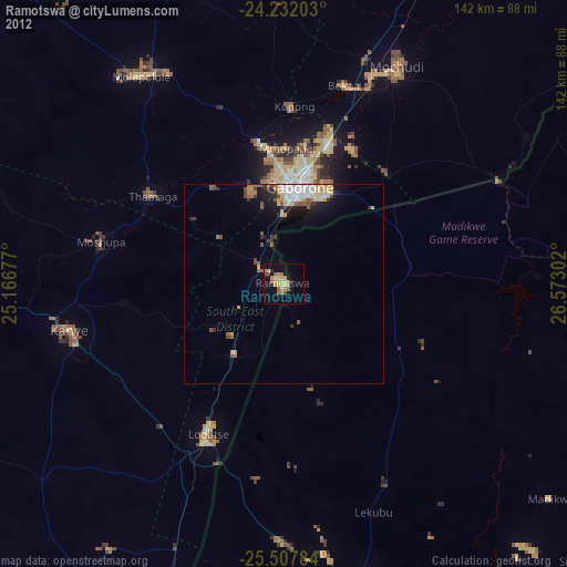
» Earth at Night: Flat Maps 2012, 2016