Gaborone night lights from space
Night Light of Gaborone from space (Botswana) Src. Average luminocity for 10x10km area is 86.9385% and for 50x50km: 10.9806%.
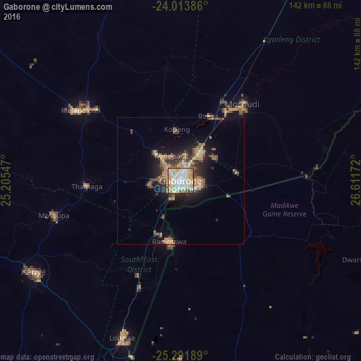
Analysis of Gaborone night lights 2016
Square area 10x10 km:
 29.96%
90-99
26.59%80-89
14.88%70-79
13.29%60-69
7.54%50-59
3.57%40-49
2.98%30-39
1.19%20-29
0%10-19
0%0-9
0%Square area 50x50 km:
1.34%90-99
1.52%80-89
1.27%70-79
2.06%60-69
1.69%50-59
1.46%40-49
2.03%30-39
1.52%20-29
2.79%10-19
5.85%0-9
78.47%Clear (daylight) street map image can be seen on geolist.org.
Map coordinates:
24° 0' 49.9" South, 25° 12' 19.7" East
24° 39' 16.2" South, 25° 54' 30.9" East
25° 17' 30.8" South, 26° 36' 42.2" East
Some cities around Gaborone sort by population:
• Mogoditshane
5.3 km =3.3 mi,  305°
305°
• Mochudi
36 km =22.4 mi,  42°
42°
• Ramotswa
24.5 km =15.2 mi,  189°
189°
• Thamaga
37.3 km =23.2 mi,  267°
267°
• Gabane
12.8 km =8 mi,  263°
263°
• Kopong
19.2 km =11.9 mi,  352°
352°
• Otse
44 km =27.3 mi,  203°
203°
• Metsemotlhaba
15.7 km =9.8 mi,  317°
317°
933773 (p: 208,411)
Sources (retrieved 2019-11-25):
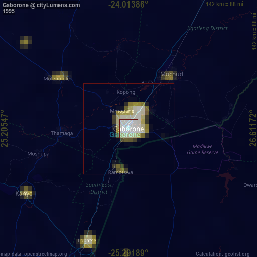
» NASA, Earths city lights 1995
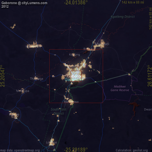
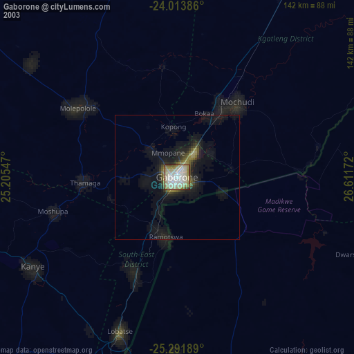
» NASA city lights 2003
» Earth at Night: Flat Maps 2012, 2016