Santa Inês night lights from space
Night Light of Santa Inês (Maranhão) from space (Brazil) Src. Average luminocity for 10x10km area is 55.4004% and for 50x50km: 5.3417%.
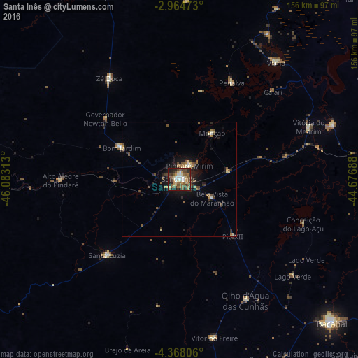
Analysis of Santa Inês night lights 2016
Square area 10x10 km:
 6.28%
6.28%90-99
9.09%80-89
9.31%70-79
9.31%60-69
6.71%50-59
16.88%40-49
10.39%30-39
9.09%20-29
11.9%10-19
11.04%0-9
0%Square area 50x50 km:
0.32%90-99
0.48%80-89
0.87%70-79
0.55%60-69
0.7%50-59
1.24%40-49
1.16%30-39
1%20-29
1.45%10-19
3.67%0-9
88.57%Clear (daylight) street map image can be seen on geolist.org.
Map coordinates:
2° 57' 53" South, 46° 4' 59.3" West
3° 40' 0" South, 45° 22' 48" West
4° 22' 5" South, 44° 40' 36.8" West
Some cities around Santa Inês sort by population:
• Viana
64.9 km =40.3 mi,  40°
40°
• Pindaré Mirim
7.7 km =4.8 mi,  32°
32°
• Penalva
47.3 km =29.4 mi, 28°
• Vitória do Mearim
60.9 km =37.8 mi,  68°
68°
• Pio XII
31.3 km =19.4 mi,  126°
126°
• Vitorino Freire
44.7 km =27.8 mi,  159°
159°
• Monção
24.1 km =15 mi, 36°
• Paulo Ramos
64.9 km =40.3 mi, 160°
3389609 (p: 67,424)
Sources (retrieved 2019-11-25):
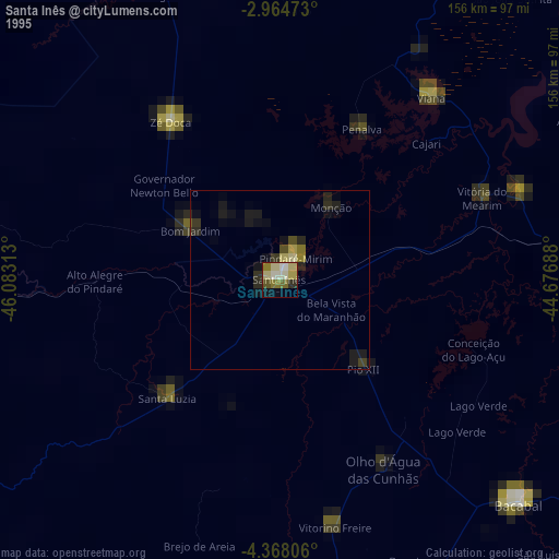
» NASA, Earths city lights 1995
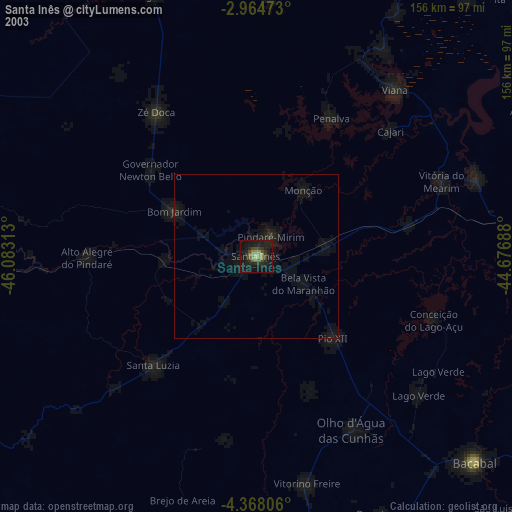
» NASA city lights 2003
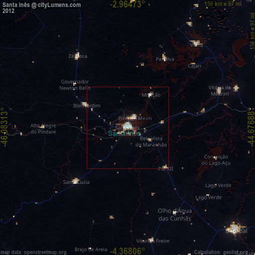
» Earth at Night: Flat Maps 2012, 2016