Valença night lights from space
Night Light of Valença (Bahia) from space (Brazil) Src. Average luminocity for 10x10km area is 21.2087% and for 50x50km: 1.9597%.
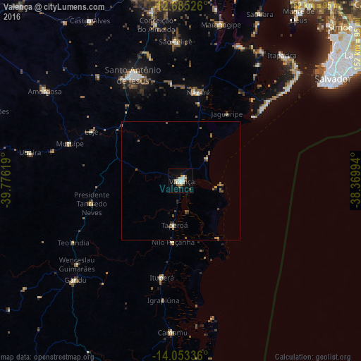
Analysis of Valença night lights 2016
Square area 10x10 km:
 2.27%
2.27%90-99
6.82%80-89
1.65%70-79
2.89%60-69
1.03%50-59
3.51%40-49
0.83%30-39
1.65%20-29
0.83%10-19
12.19%0-9
66.32%Square area 50x50 km:
0.09%90-99
0.37%80-89
0.08%70-79
0.27%60-69
0.36%50-59
0.59%40-49
0.27%30-39
0.09%20-29
0.31%10-19
0.6%0-9
96.97%Clear (daylight) street map image can be seen on geolist.org.
Map coordinates:
12° 41' 6.9" South, 39° 46' 34.3" West
13° 22' 13" South, 39° 4' 23" West
14° 3' 12.1" South, 38° 22' 11.8" West
Some cities around Valença sort by population:
• Santo Antônio de Jesus
49.1 km =30.5 mi,  335°
335°
• Nazaré
37.8 km =23.5 mi,  9°
9°
• Muritiba
54 km =33.6 mi, 339°
• Gandu
61 km =37.9 mi,  227°
227°
• Ituberá
41.4 km =25.7 mi,  191°
191°
• Sobradinho
59.8 km =37.2 mi,  357°
357°
• Mutuípe
49.3 km =30.6 mi,  288°
288°
• Taperoá
18.9 km =11.7 mi, 188°
3445597 (p: 63,231)
Sources (retrieved 2019-11-25):
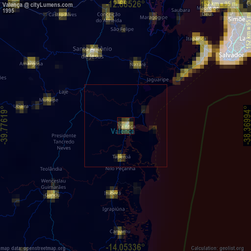
» NASA, Earths city lights 1995
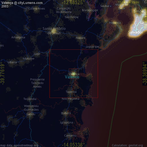
» NASA city lights 2003
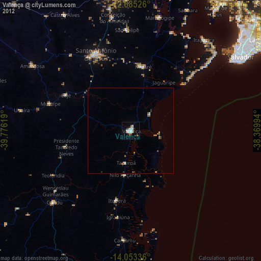
» Earth at Night: Flat Maps 2012, 2016