Santo Antônio de Jesus night lights from space
Night Light of Santo Antônio de Jesus (Bahia) from space (Brazil) Src. Average luminocity for 10x10km area is 46.1537% and for 50x50km: 6.7418%.
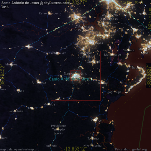
Analysis of Santo Antônio de Jesus night lights 2016
Square area 10x10 km:
 6.49%
6.49%90-99
17.75%80-89
0.87%70-79
3.46%60-69
4.55%50-59
4.76%40-49
4.11%30-39
11.9%20-29
14.29%10-19
29%0-9
2.81%Square area 50x50 km:
0.28%90-99
1.16%80-89
0.28%70-79
0.38%60-69
0.77%50-59
1.77%40-49
1.36%30-39
1.4%20-29
1.89%10-19
4.84%0-9
85.85%Clear (daylight) street map image can be seen on geolist.org.
Map coordinates:
12° 16' 58" South, 39° 57' 52.3" West
12° 58' 8" South, 39° 15' 41" West
13° 39' 11.2" South, 38° 33' 29.8" West
Some cities around Santo Antônio de Jesus sort by population:
• Cruz das Almas
37.5 km =23.3 mi,  27°
27°
• Nazaré
27.7 km =17.2 mi,  105°
105°
• Amargosa
37.8 km =23.5 mi,  259°
259°
• Muritiba
5.9 km =3.7 mi,  12°
12°
• Sobradinho
23.1 km =14.4 mi,  49°
49°
• Castro Alves
29 km =18 mi,  321°
321°
• Mutuípe
39.1 km =24.3 mi,  222°
222°
• Conceição do Almeida
23.3 km =14.5 mi, 25°
3449521 (p: 73,957)
Sources (retrieved 2019-11-25):
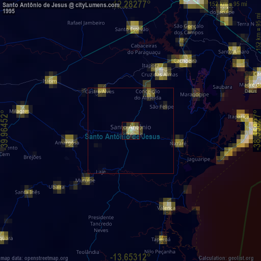
» NASA, Earths city lights 1995
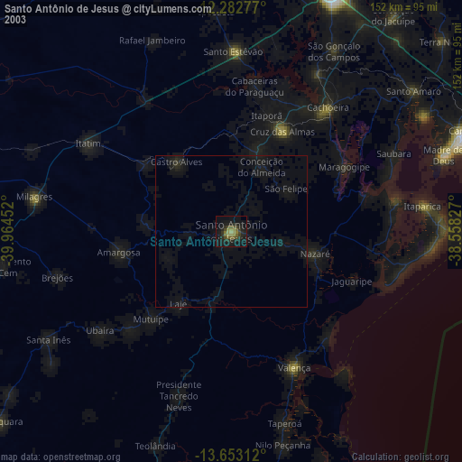
» NASA city lights 2003
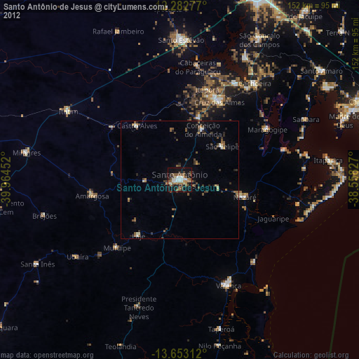
» Earth at Night: Flat Maps 2012, 2016