Nazaré night lights from space
Night Light of Nazaré (Bahia) from space (Brazil) Src. Average luminocity for 10x10km area is 19.0606% and for 50x50km: 5.137%.
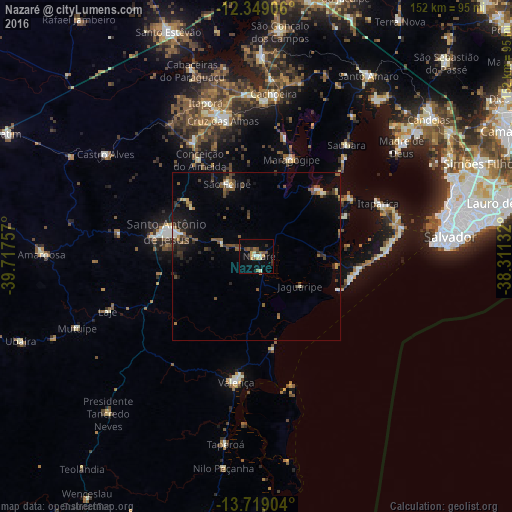
Analysis of Nazaré night lights 2016
Square area 10x10 km:
 0.65%
0.65%90-99
4.55%80-89
1.08%70-79
2.6%60-69
1.95%50-59
4.33%40-49
3.9%30-39
1.95%20-29
2.38%10-19
5.19%0-9
71.43%Square area 50x50 km:
0.16%90-99
0.79%80-89
0.27%70-79
0.33%60-69
0.46%50-59
1.56%40-49
0.96%30-39
1%20-29
1.44%10-19
2.46%0-9
90.55%Clear (daylight) street map image can be seen on geolist.org.
Map coordinates:
12° 20' 56.6" South, 39° 43' 3.3" West
13° 2' 6" South, 39° 0' 52" West
13° 43' 8.5" South, 38° 18' 40.8" West
Some cities around Nazaré sort by population:
• Santo Antônio de Jesus
27.7 km =17.2 mi,  285°
285°
• Valença
37.8 km =23.5 mi,  189°
189°
• Cruz das Almas
41.7 km =25.9 mi,  346°
346°
• Muritiba
28.7 km =17.8 mi,  297°
297°
• Maragogipe
30.4 km =18.9 mi,  19°
19°
• Itaparica
39.9 km =24.8 mi,  65°
65°
• Sobradinho
24.3 km =15.1 mi,  337°
337°
• Conceição do Almeida
33 km =20.5 mi,  329°
329°
3456366 (p: 25,604)
Sources (retrieved 2019-11-25):
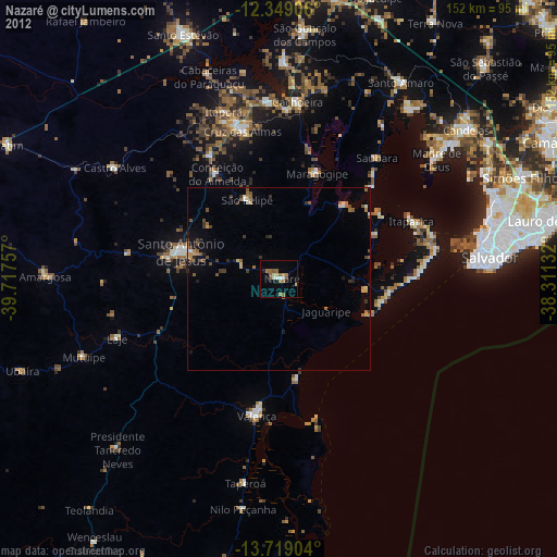
» Earth at Night: Flat Maps 2012, 2016