Uberaba night lights from space
Night Light of Uberaba (Minas Gerais) from space (Brazil) Src. Average luminocity for 10x10km area is 79.5124% and for 50x50km: 6.7132%.
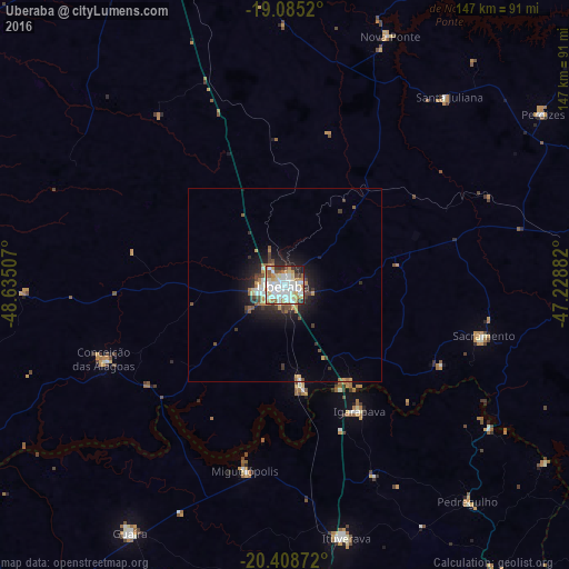
Analysis of Uberaba night lights 2016
Square area 10x10 km:
 26.86%
90-99
24.38%80-89
8.26%70-79
13.64%60-69
7.44%50-59
3.1%40-49
3.31%30-39
5.58%20-29
5.99%10-19
1.45%0-9
0%Square area 50x50 km:
1.29%90-99
1.27%80-89
0.42%70-79
1.26%60-69
0.74%50-59
0.45%40-49
0.81%30-39
0.91%20-29
1.73%10-19
3.93%0-9
87.18%Clear (daylight) street map image can be seen on geolist.org.
Map coordinates:
19° 5' 6.7" South, 48° 38' 6.3" West
19° 44' 54" South, 47° 55' 55" West
20° 24' 31.4" South, 47° 13' 43.8" West
Some cities around Uberaba sort by population:
• Ituverava
67.6 km =42 mi,  166°
166°
• Guaíra
74.7 km =46.4 mi,  211°
211°
• Igarapava
37.6 km =23.4 mi,  149°
149°
• Guará
76.4 km =47.5 mi, 171°
• Miguelópolis
49.1 km =30.5 mi,  192°
192°
• Sacramento
53.1 km =33 mi,  104°
104°
• Conceição das Alagoas
51.2 km =31.8 mi,  248°
248°
• Pedregulho
73.9 km =45.9 mi,  139°
139°
3445839 (p: 260,843)
Sources (retrieved 2019-11-25):
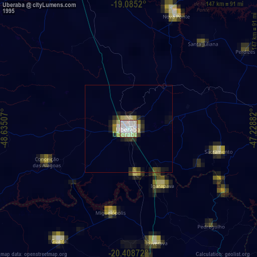
» NASA, Earths city lights 1995
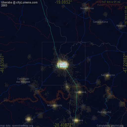
» NASA city lights 2003
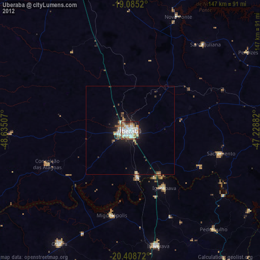
» Earth at Night: Flat Maps 2012, 2016