Sacramento night lights from space
Night Light of Sacramento (Minas Gerais) from space (Brazil) Src. Average luminocity for 10x10km area is 15.658% and for 50x50km: 1.2101%.
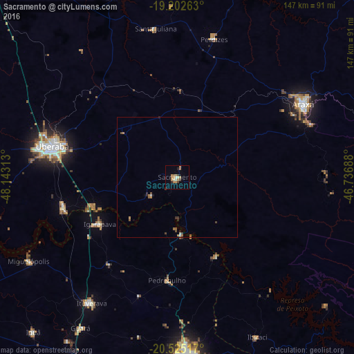
Analysis of Sacramento night lights 2016
Square area 10x10 km:
 0.43%
0.43%90-99
1.95%80-89
1.08%70-79
6.93%60-69
3.46%50-59
0%40-49
2.6%30-39
0.22%20-29
1.73%10-19
1.3%0-9
80.3%Square area 50x50 km:
0.02%90-99
0.16%80-89
0.04%70-79
0.37%60-69
0.28%50-59
0.17%40-49
0.24%30-39
0.11%20-29
0.2%10-19
0.12%0-9
98.29%Clear (daylight) street map image can be seen on geolist.org.
Map coordinates:
19° 12' 9.5" South, 48° 8' 35.3" West
19° 51' 55" South, 47° 26' 24" West
20° 31' 30.6" South, 46° 44' 12.8" West
Some cities around Sacramento sort by population:
• Franca
75 km =46.6 mi,  176°
176°
• Uberaba
53.1 km =33 mi,  284°
284°
• Araxá
60.4 km =37.5 mi,  59°
59°
• Ituverava
63.6 km =39.5 mi,  213°
213°
• Igarapava
37.4 km =23.2 mi,  239°
239°
• Guará
74.3 km =46.2 mi, 212°
• Miguelópolis
71 km =44.1 mi, 240°
• Pedregulho
43.7 km =27.2 mi,  185°
185°
3450759 (p: 16,982)
Sources (retrieved 2019-11-25):
» Earth at Night: Flat Maps 2012, 2016