Três Coroas night lights from space
Night Light of Três Coroas (Rio Grande do Sul) from space (Brazil) Src. Average luminocity for 10x10km area is 26.5189% and for 50x50km: 11.6784%.
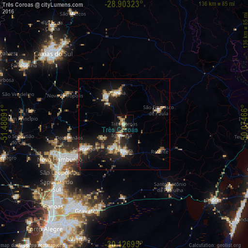
Analysis of Três Coroas night lights 2016
Square area 10x10 km:
 0.57%
0.57%90-99
2.08%80-89
3.79%70-79
5.49%60-69
5.49%50-59
7.2%40-49
1.89%30-39
2.27%20-29
4.36%10-19
33.14%0-9
33.71%Square area 50x50 km:
1.14%90-99
1.43%80-89
1.52%70-79
1.7%60-69
1.43%50-59
1.72%40-49
1.44%30-39
1.97%20-29
3.63%10-19
10.37%0-9
73.64%Clear (daylight) street map image can be seen on geolist.org.
Map coordinates:
28° 54' 11.6" South, 51° 28' 51.3" West
29° 31' 1" South, 50° 46' 40" West
30° 7' 37" South, 50° 4' 28.8" West
Some cities around Três Coroas sort by population:
• Sapiranga
25.9 km =16.1 mi,  238°
238°
• Parobé
13.6 km =8.5 mi,  203°
203°
• Taquara
14.9 km =9.3 mi,  181°
181°
• Canela
18.2 km =11.3 mi,  349°
349°
• Igrejinha
6.5 km =4 mi,  190°
190°
• Nova Petrópolis
36.1 km =22.4 mi,  295°
295°
• Rolante
24.5 km =15.2 mi,  127°
127°
• São Francisco de Paula
20.3 km =12.6 mi,  67°
67°
3446137 (p: 21,051)
Sources (retrieved 2019-11-25):
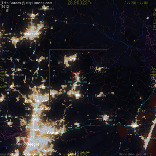
» Earth at Night: Flat Maps 2012, 2016