Canela night lights from space
Night Light of Canela (Rio Grande do Sul) from space (Brazil) Src. Average luminocity for 10x10km area is 30.233% and for 50x50km: 5.1448%.
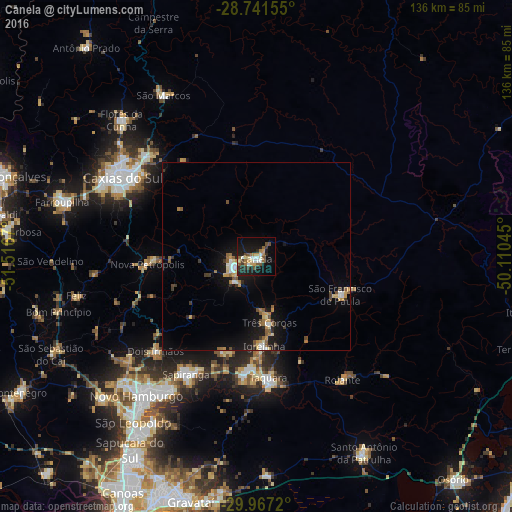
Analysis of Canela night lights 2016
Square area 10x10 km:
 2.84%
2.84%90-99
4.73%80-89
4.55%70-79
3.41%60-69
4.36%50-59
5.11%40-49
3.79%30-39
3.22%20-29
8.33%10-19
32.01%0-9
27.65%Square area 50x50 km:
0.43%90-99
0.62%80-89
0.64%70-79
0.72%60-69
0.69%50-59
0.83%40-49
0.52%30-39
0.6%20-29
0.81%10-19
5.09%0-9
89.05%Clear (daylight) street map image can be seen on geolist.org.
Map coordinates:
28° 44' 29.6" South, 51° 31' 0.1" West
29° 21' 22.4" South, 50° 48' 48.9" West
29° 58' 1.9" South, 50° 6' 37.6" West
Some cities around Canela sort by population:
• Sapiranga
36.5 km =22.7 mi,  210°
210°
• Parobé
30.4 km =18.9 mi,  183°
183°
• Taquara
32.9 km =20.4 mi,  174°
174°
• Igrejinha
24.4 km =15.2 mi, 174°
• Três Coroas
18.2 km =11.3 mi, 169°
• Nova Petrópolis
29.2 km =18.1 mi,  265°
265°
• Rolante
40 km =24.9 mi,  144°
144°
• São Francisco de Paula
24.5 km =15.2 mi,  114°
114°
3467530 (p: 33,528)
Sources (retrieved 2019-11-25):
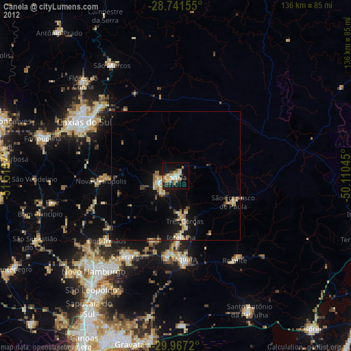
» Earth at Night: Flat Maps 2012, 2016