Tobias Barreto night lights from space
Night Light of Tobias Barreto (Sergipe) from space (Brazil) Src. Average luminocity for 10x10km area is 28.0736% and for 50x50km: 4.1231%.
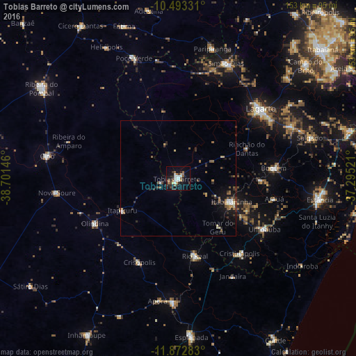
Analysis of Tobias Barreto night lights 2016
Square area 10x10 km:
 4.76%
4.76%90-99
5.63%80-89
1.73%70-79
1.95%60-69
4.11%50-59
4.33%40-49
2.16%30-39
3.46%20-29
7.79%10-19
27.71%0-9
36.36%Square area 50x50 km:
0.39%90-99
0.49%80-89
0.4%70-79
0.29%60-69
0.63%50-59
0.83%40-49
0.44%30-39
0.87%20-29
1.1%10-19
3.08%0-9
91.49%Clear (daylight) street map image can be seen on geolist.org.
Map coordinates:
10° 29' 35.9" South, 38° 42' 5.3" West
11° 11' 2" South, 37° 59' 54" West
11° 52' 22.2" South, 37° 17' 42.8" West
Some cities around Tobias Barreto sort by population:
• Lagarto
48.2 km =30 mi,  52°
52°
• Rio Real
34.2 km =21.3 mi,  167°
167°
• Itabaianinha
24.8 km =15.4 mi,  113°
113°
• Boquim
41.4 km =25.7 mi,  84°
84°
• Acajutiba
53.2 km =33.1 mi,  182°
182°
• Umbaúba
43.3 km =26.9 mi,  120°
120°
• Olindina
41.8 km =26 mi,  240°
240°
• Cristinápolis
41.9 km =26 mi,  140°
140°
3446400 (p: 29,740)
Sources (retrieved 2019-11-25):
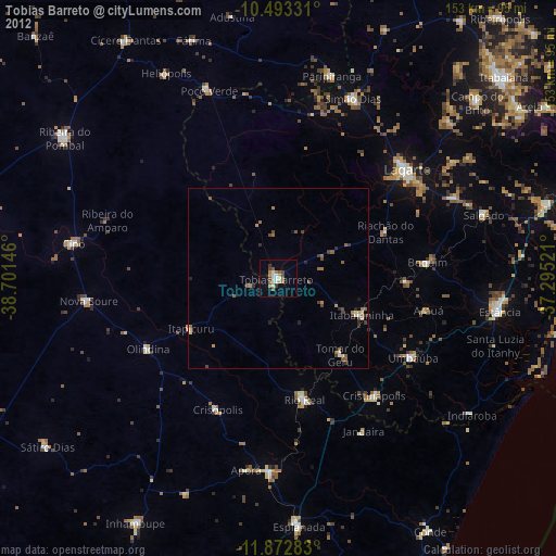
» Earth at Night: Flat Maps 2012, 2016