Telêmaco Borba night lights from space
Night Light of Telêmaco Borba (Paraná) from space (Brazil) Src. Average luminocity for 10x10km area is 32.7121% and for 50x50km: 2.5965%.
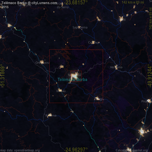
Analysis of Telêmaco Borba night lights 2016
Square area 10x10 km:
 4.73%
4.73%90-99
6.25%80-89
4.36%70-79
4.92%60-69
5.11%50-59
4.92%40-49
2.84%30-39
3.22%20-29
1.52%10-19
31.25%0-9
30.87%Square area 50x50 km:
0.24%90-99
0.32%80-89
0.27%70-79
0.46%60-69
0.42%50-59
0.34%40-49
0.38%30-39
0.46%20-29
0.2%10-19
1.8%0-9
95.12%Clear (daylight) street map image can be seen on geolist.org.
Map coordinates:
23° 40' 53.7" South, 51° 19' 7.3" West
24° 19' 26" South, 50° 36' 56" West
24° 57' 46.7" South, 49° 54' 44.8" West
Some cities around Telêmaco Borba sort by population:
• Castro
80 km =49.7 mi,  130°
130°
• Ibaiti
68.4 km =42.5 mi,  39°
39°
• Piraí do Sul
71.2 km =44.2 mi,  108°
108°
• Tibagi
29 km =18 mi,  135°
135°
• Ortigueira
36.2 km =22.5 mi,  290°
290°
• Reserva
43.4 km =27 mi,  213°
213°
• Terra Roxa
78.9 km =49 mi,  48°
48°
• Cândido de Abreu
77.5 km =48.2 mi,  249°
249°
3446652 (p: 58,880)
Sources (retrieved 2019-11-25):
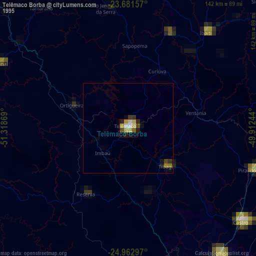
» NASA, Earths city lights 1995
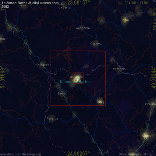
» NASA city lights 2003
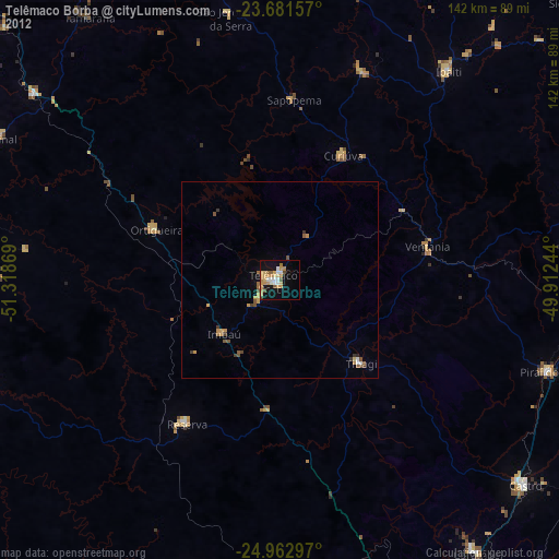
» Earth at Night: Flat Maps 2012, 2016