Ibaiti night lights from space
Night Light of Ibaiti (Paraná) from space (Brazil) Src. Average luminocity for 10x10km area is 12.5556% and for 50x50km: 1.3019%.
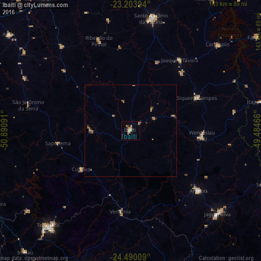
Analysis of Ibaiti night lights 2016
Square area 10x10 km:
 0.99%
0.99%90-99
0.6%80-89
0.6%70-79
4.96%60-69
4.17%50-59
1.39%40-49
0.79%30-39
0.2%20-29
0.6%10-19
1.59%0-9
84.13%Square area 50x50 km:
0.04%90-99
0.03%80-89
0.08%70-79
0.43%60-69
0.42%50-59
0.22%40-49
0.25%30-39
0.15%20-29
0.11%10-19
0.18%0-9
98.1%Clear (daylight) street map image can be seen on geolist.org.
Map coordinates:
23° 12' 14.2" South, 50° 53' 27.3" West
23° 50' 55" South, 50° 11' 16" West
24° 29' 24.3" South, 49° 29' 4.8" West
Some cities around Ibaiti sort by population:
• Telêmaco Borba
68.4 km =42.5 mi,  219°
219°
• Santo Antônio da Platina
62.6 km =38.9 mi,  10°
10°
• Jaguariaíva
65.5 km =40.7 mi,  132°
132°
• Wenceslau Braz
39.2 km =24.4 mi,  94°
94°
• Siqueira Campos
40.2 km =25 mi,  63°
63°
• Tibagi
77 km =47.8 mi,  197°
197°
• Terra Roxa
15.9 km =9.9 mi, 92°
• Itaporanga
72.7 km =45.2 mi,  77°
77°
3461628 (p: 25,796)
Sources (retrieved 2019-11-25):
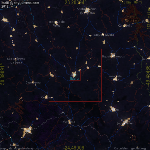
» Earth at Night: Flat Maps 2012, 2016