Piraí do Sul night lights from space
Night Light of Piraí do Sul (Paraná) from space (Brazil) Src. Average luminocity for 10x10km area is 10.0476% and for 50x50km: 0.7592%.
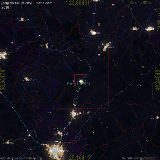
Analysis of Piraí do Sul night lights 2016
Square area 10x10 km:
 1.59%
1.59%90-99
1.98%80-89
0.4%70-79
1.79%60-69
0.6%50-59
2.98%40-49
0.99%30-39
0.2%20-29
1.39%10-19
0%0-9
88.1%Square area 50x50 km:
0.06%90-99
0.08%80-89
0.02%70-79
0.19%60-69
0.06%50-59
0.15%40-49
0.16%30-39
0.13%20-29
0.07%10-19
0.04%0-9
99.04%Clear (daylight) street map image can be seen on geolist.org.
Map coordinates:
23° 53' 5.3" South, 50° 39' 6.3" West
24° 31' 34" South, 49° 56' 55" West
25° 9' 50.9" South, 49° 14' 43.8" West
Some cities around Piraí do Sul sort by population:
• Ponta Grossa
66.8 km =41.5 mi,  198°
198°
• Telêmaco Borba
71.2 km =44.2 mi,  288°
288°
• Castro
30 km =18.6 mi,  192°
192°
• Jaguariaíva
39.6 km =24.6 mi,  37°
37°
• Wenceslau Braz
74 km =46 mi,  11°
11°
• Sengés
67.3 km =41.8 mi,  46°
46°
• Carambeí
50.3 km =31.3 mi, 199°
• Tibagi
47.1 km =29.3 mi,  272°
272°
3453622 (p: 16,409)
Sources (retrieved 2019-11-25):
» Earth at Night: Flat Maps 2012, 2016