Castro night lights from space
Night Light of Castro (Paraná) from space (Brazil) Src. Average luminocity for 10x10km area is 29.1477% and for 50x50km: 2.7448%.
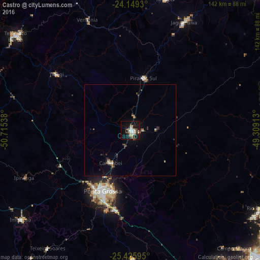
Analysis of Castro night lights 2016
Square area 10x10 km:
 5.11%
5.11%90-99
4.73%80-89
2.08%70-79
4.36%60-69
4.73%50-59
2.65%40-49
2.84%30-39
3.79%20-29
5.87%10-19
32.01%0-9
31.82%Square area 50x50 km:
0.31%90-99
0.3%80-89
0.12%70-79
0.38%60-69
0.36%50-59
0.32%40-49
0.4%30-39
0.49%20-29
0.63%10-19
2.31%0-9
94.38%Clear (daylight) street map image can be seen on geolist.org.
Map coordinates:
24° 8' 57.5" South, 50° 42' 55.4" West
24° 47' 21.4" South, 50° 0' 44.1" West
25° 25' 33.4" South, 49° 18' 32.9" West
Some cities around Castro sort by population:
• Ponta Grossa
37.2 km =23.1 mi,  203°
203°
• Telêmaco Borba
80 km =49.7 mi,  310°
310°
• Jaguariaíva
67.9 km =42.2 mi,  26°
26°
• Imbituva
77.2 km =48 mi,  230°
230°
• Palmeira
71.2 km =44.2 mi,  179°
179°
• Piraí do Sul
30 km =18.6 mi,  12°
12°
• Carambeí
21 km =13 mi,  209°
209°
• Tibagi
51.1 km =31.8 mi, 307°
3466704 (p: 42,091)
Sources (retrieved 2019-11-25):
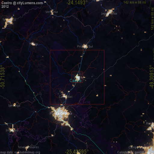
» Earth at Night: Flat Maps 2012, 2016