Ibiá night lights from space
Night Light of Ibiá (Minas Gerais) from space (Brazil) Src. Average luminocity for 10x10km area is 14.3843% and for 50x50km: 0.627%.
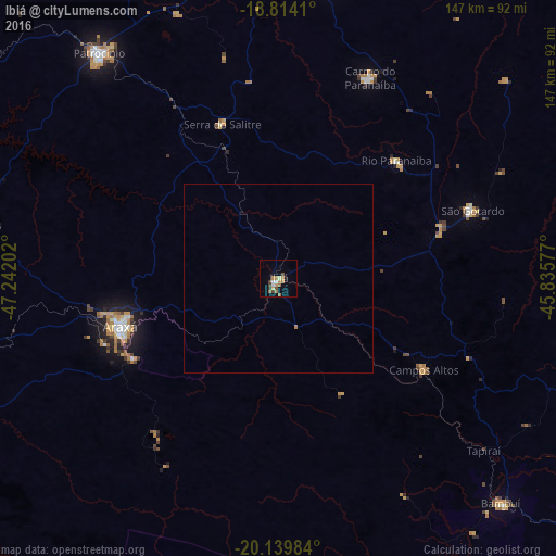
Analysis of Ibiá night lights 2016
Square area 10x10 km:
 1.45%
1.45%90-99
1.03%80-89
1.45%70-79
3.1%60-69
3.93%50-59
1.86%40-49
2.69%30-39
1.65%20-29
0.21%10-19
1.65%0-9
80.99%Square area 50x50 km:
0.06%90-99
0.04%80-89
0.06%70-79
0.12%60-69
0.19%50-59
0.07%40-49
0.11%30-39
0.06%20-29
0.01%10-19
0.06%0-9
99.22%Clear (daylight) street map image can be seen on geolist.org.
Map coordinates:
18° 48' 50.8" South, 47° 14' 31.3" West
19° 28' 42" South, 46° 32' 20" West
20° 8' 23.4" South, 45° 50' 8.8" West
Some cities around Ibiá sort by population:
• Araxá
44 km =27.3 mi,  253°
253°
• Patrocínio
76.2 km =47.3 mi,  321°
321°
• São Gotardo
54.7 km =34 mi,  70°
70°
• Carmo do Paranaíba
58 km =36 mi,  23°
23°
• Bambuí
83.1 km =51.6 mi,  134°
134°
• Luz
96.3 km =59.8 mi,  111°
111°
• Campos Altos
45.5 km =28.3 mi,  122°
122°
• Lagoa Formosa
79 km =49.1 mi,  10°
10°
3461620 (p: 18,428)
Sources (retrieved 2019-11-25):
» Earth at Night: Flat Maps 2012, 2016