Santiago night lights from space
Night Light of Santiago (Rio Grande do Sul) from space (Brazil) Src. Average luminocity for 10x10km area is 30.4702% and for 50x50km: 1.4722%.

Analysis of Santiago night lights 2016
Square area 10x10 km:
 5.95%
5.95%90-99
7.54%80-89
4.17%70-79
2.98%60-69
3.97%50-59
0.4%40-49
1.59%30-39
1.98%20-29
1.98%10-19
36.71%0-9
32.74%Square area 50x50 km:
0.25%90-99
0.31%80-89
0.17%70-79
0.14%60-69
0.15%50-59
0.09%40-49
0.07%30-39
0.14%20-29
0.13%10-19
1.44%0-9
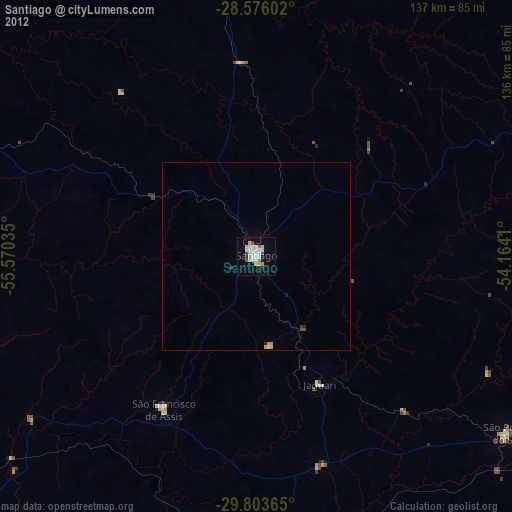
97.11%Clear (daylight) street map image can be seen on geolist.org.
Map coordinates:
28° 34' 33.7" South, 55° 34' 13.3" West
29° 11' 30" South, 54° 52' 2" West
29° 48' 13.1" South, 54° 9' 50.8" West
Some cities around Santiago sort by population:
• Alegrete
111.1 km =69 mi,  233°
233°
• Santo Ângelo
115.4 km =71.7 mi,  30°
30°
• São Luiz Gonzaga
87.6 km =54.4 mi,  354°
354°
• Júlio de Castilhos
115.1 km =71.5 mi,  91°
91°
• Tupanciretã
100.9 km =62.7 mi,  82°
82°
• São Francisco de Assis
47.4 km =29.5 mi,  212°
212°
• Cacequi
77 km =47.8 mi,  176°
176°
• São Pedro do Sul
82 km =51 mi,  125°
125°
3449741 (p: 46,611)
Sources (retrieved 2019-11-25):
» Earth at Night: Flat Maps 2012, 2016