Cacequi night lights from space
Night Light of Cacequi (Rio Grande do Sul) from space (Brazil) Src. Average luminocity for 10x10km area is 11.1171% and for 50x50km: 0.569%.
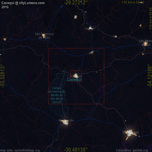
Analysis of Cacequi night lights 2016
Square area 10x10 km:
 0.99%
0.99%90-99
0.6%80-89
2.18%70-79
1.39%60-69
3.37%50-59
1.98%40-49
1.39%30-39
0.79%20-29
1.59%10-19
0%0-9
85.71%Square area 50x50 km:
0.04%90-99
0.02%80-89
0.11%70-79
0.08%60-69
0.13%50-59
0.07%40-49
0.07%30-39
0.18%20-29
0.1%10-19
0.06%0-9
99.14%Clear (daylight) street map image can be seen on geolist.org.
Map coordinates:
29° 16' 19.6" South, 55° 31' 41.3" West
29° 53' 1" South, 54° 49' 30" West
30° 29' 29" South, 54° 7' 18.8" West
Some cities around Cacequi sort by population:
• Santa Maria
100.7 km =62.6 mi,  77°
77°
• Alegrete
93.9 km =58.3 mi,  276°
276°
• São Gabriel
70 km =43.5 mi,  136°
136°
• Santiago
77 km =47.8 mi,  356°
356°
• Dom Pedrito
123.1 km =76.5 mi,  173°
173°
• Rosário do Sul
42.5 km =26.4 mi,  191°
191°
• São Francisco de Assis
47.4 km =29.5 mi,  321°
321°
• São Pedro do Sul
68.9 km =42.8 mi,  64°
64°
3468553 (p: 12,867)
Sources (retrieved 2019-11-25):
» Earth at Night: Flat Maps 2012, 2016