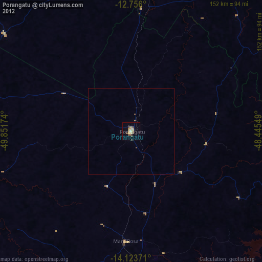
Porangatu night lights from space
Night Light of Porangatu (Goiás) from space (Brazil) Src. Average luminocity for 10x10km area is 27.7045% and for 50x50km: 1.2478%.
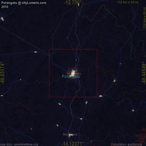
Analysis of Porangatu night lights 2016
Square area 10x10 km:
 2.48%
2.48%90-99
3.1%80-89
7.02%70-79
8.68%60-69
1.03%50-59
0.83%40-49
4.96%30-39
0%20-29
1.65%10-19
28.51%0-9
41.74%Square area 50x50 km:
0.1%90-99
0.12%80-89
0.28%70-79
0.35%60-69
0.04%50-59
0.03%40-49
0.23%30-39
0%20-29
0.07%10-19
1.15%0-9
97.63%Clear (daylight) street map image can be seen on geolist.org.
Map coordinates:
12° 45' 21.6" South, 49° 51' 6.3" West
13° 26' 27" South, 49° 8' 55" West
14° 7' 25.4" South, 48° 26' 43.8" West
Some cities around Porangatu sort by population:
• Minaçu
100.9 km =62.7 mi,  95°
95°
• Uruaçu
120.5 km =74.9 mi,  179°
179°
• Niquelândia
136.8 km =85 mi,  147°
147°
• São Miguel do Araguaia
111.3 km =69.2 mi,  279°
279°
• Itapaci
173.4 km =107.7 mi,  194°
194°
• Crixás
151.7 km =94.3 mi,  215°
215°
• Alvorada
106.9 km =66.4 mi,  1°
1°
• Barro Alto
172 km =106.9 mi,  171°
171°
3453014 (p: 32,758)
Sources (retrieved 2019-11-25):
» Earth at Night: Flat Maps 2012, 2016