Santa Rita do Passa Quatro night lights from space
Night Light of Santa Rita do Passa Quatro (São Paulo) from space (Brazil) Src. Average luminocity for 10x10km area is 16.822% and for 50x50km: 5.352%.
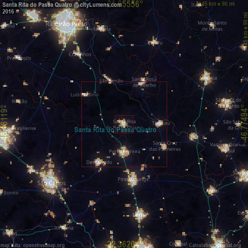
Analysis of Santa Rita do Passa Quatro night lights 2016
Square area 10x10 km:
 1.14%
1.14%90-99
1.14%80-89
1.7%70-79
5.11%60-69
4.73%50-59
2.08%40-49
0.57%30-39
1.7%20-29
2.27%10-19
2.46%0-9
77.08%Square area 50x50 km:
0.41%90-99
0.6%80-89
0.58%70-79
1.28%60-69
0.85%50-59
0.65%40-49
0.73%30-39
0.55%20-29
0.39%10-19
2.27%0-9
91.7%Clear (daylight) street map image can be seen on geolist.org.
Map coordinates:
21° 3' 20" South, 48° 10' 52.3" West
21° 42' 37" South, 47° 28' 41" West
22° 21' 43.3" South, 46° 46' 29.8" West
Some cities around Santa Rita do Passa Quatro sort by population:
• Pirassununga
32.2 km =20 mi,  170°
170°
• Porto Ferreira
16 km =9.9 mi,  180°
180°
• Cravinhos
48.7 km =30.3 mi,  327°
327°
• Descalvado
26 km =16.2 mi,  214°
214°
• Casa Branca
41.1 km =25.5 mi,  99°
99°
• Tambaú
21 km =13 mi,  88°
88°
• Cajuru
51.6 km =32.1 mi,  20°
20°
• São Simão
26.8 km =16.7 mi,  343°
343°
3449851 (p: 24,578)
Sources (retrieved 2019-11-25):
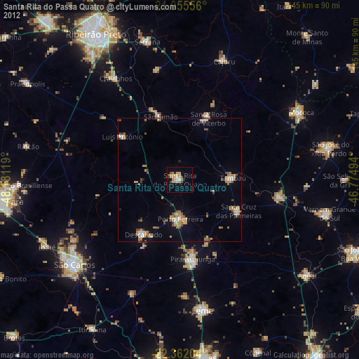
» Earth at Night: Flat Maps 2012, 2016