Pirassununga night lights from space
Night Light of Pirassununga (São Paulo) from space (Brazil) Src. Average luminocity for 10x10km area is 41.881% and for 50x50km: 8.1806%.
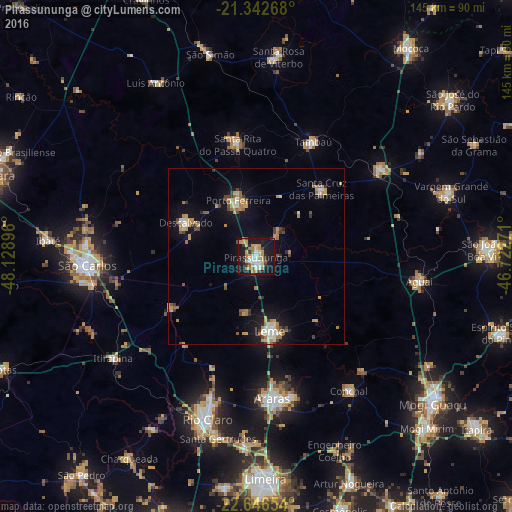
Analysis of Pirassununga night lights 2016
Square area 10x10 km:
 7.14%
7.14%90-99
4.17%80-89
7.74%70-79
10.91%60-69
5.75%50-59
2.98%40-49
1.39%30-39
4.76%20-29
8.33%10-19
43.65%0-9
3.17%Square area 50x50 km:
0.73%90-99
0.96%80-89
0.94%70-79
1.76%60-69
1.45%50-59
0.7%40-49
0.9%30-39
1%20-29
0.74%10-19
7.03%0-9
83.79%Clear (daylight) street map image can be seen on geolist.org.
Map coordinates:
21° 20' 33.6" South, 48° 7' 44.3" West
21° 59' 46" South, 47° 25' 33" West
22° 38' 47.5" South, 46° 43' 21.8" West
Some cities around Pirassununga sort by population:
• Araras
40.3 km =25 mi,  173°
173°
• Leme
21.4 km =13.3 mi, 170°
• Porto Ferreira
16.7 km =10.4 mi,  340°
340°
• Descalvado
22.4 km =13.9 mi,  297°
297°
• Santa Cruz das Palmeiras
26.2 km =16.3 mi,  44°
44°
• Santa Rita do Passa Quatro
32.2 km =20 mi,  350°
350°
• Casa Branca
42.9 km =26.7 mi,  54°
54°
• Tambaú
35.9 km =22.3 mi,  25°
25°
3453639 (p: 60,413)
Sources (retrieved 2019-11-25):
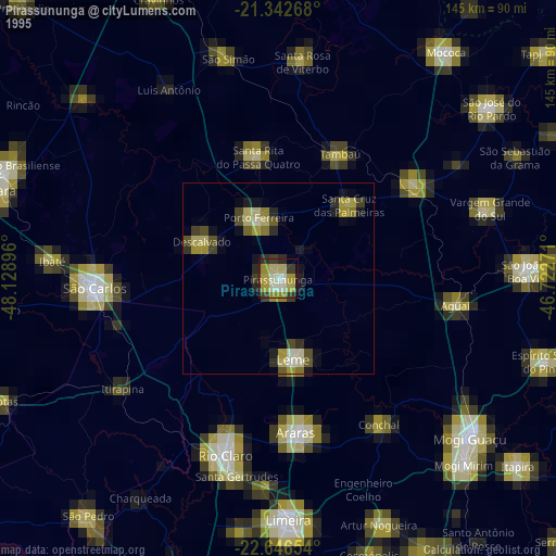
» NASA, Earths city lights 1995
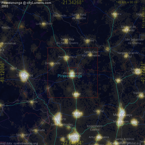
» NASA city lights 2003
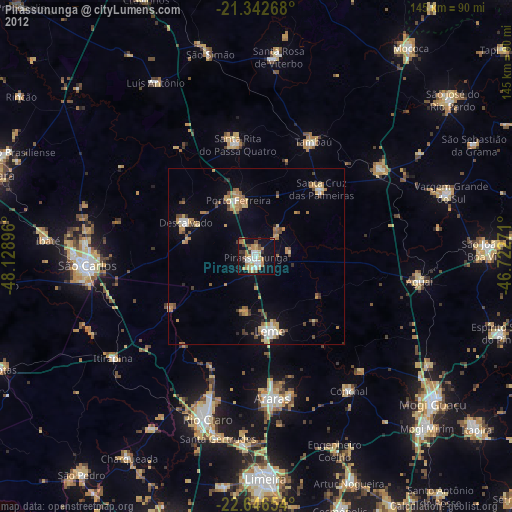
» Earth at Night: Flat Maps 2012, 2016