Cravinhos night lights from space
Night Light of Cravinhos (São Paulo) from space (Brazil) Src. Average luminocity for 10x10km area is 19.1042% and for 50x50km: 14.0956%.
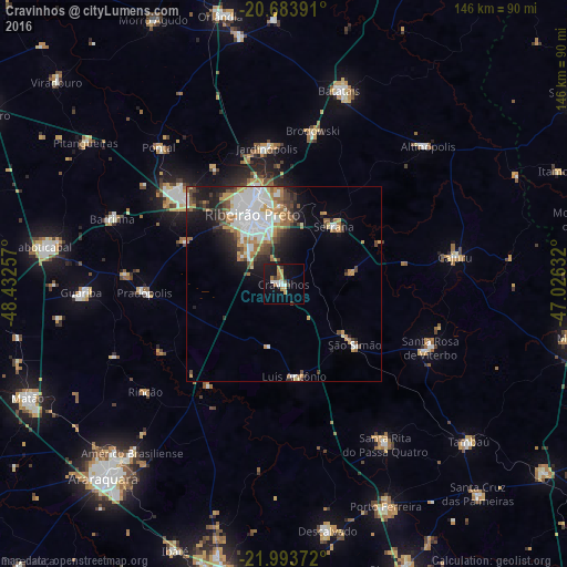
Analysis of Cravinhos night lights 2016
Square area 10x10 km:
 3.22%
3.22%90-99
2.08%80-89
1.52%70-79
3.41%60-69
3.41%50-59
1.52%40-49
0.57%30-39
2.08%20-29
1.33%10-19
21.97%0-9
58.9%Square area 50x50 km:
3.56%90-99
2.59%80-89
0.97%70-79
2.16%60-69
1.92%50-59
1.34%40-49
1.78%30-39
1.45%20-29
2.71%10-19
6.06%0-9
75.45%Clear (daylight) street map image can be seen on geolist.org.
Map coordinates:
20° 41' 2.1" South, 48° 25' 57.3" West
21° 20' 25" South, 47° 43' 46" West
21° 59' 37.4" South, 47° 1' 34.8" West
Some cities around Cravinhos sort by population:
• Ribeirão Preto
19.9 km =12.4 mi,  335°
335°
• Sertãozinho
35.2 km =21.9 mi,  309°
309°
• Serrana
19.9 km =12.4 mi,  44°
44°
• Jardinópolis
36 km =22.4 mi,  354°
354°
• Santa Rosa de Viterbo
40.7 km =25.3 mi,  111°
111°
• Brodósqui
39.5 km =24.5 mi,  10°
10°
• Pradópolis
34.9 km =21.7 mi,  266°
266°
• São Simão
24.1 km =15 mi,  129°
129°
3465209 (p: 32,689)
Sources (retrieved 2019-11-25):
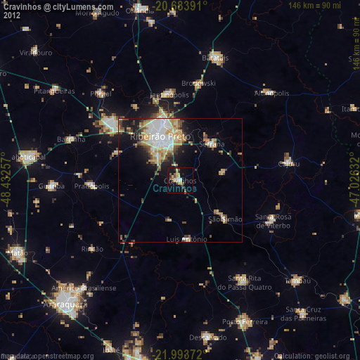
» Earth at Night: Flat Maps 2012, 2016