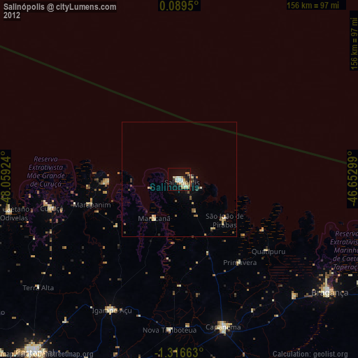
Salinópolis night lights from space
Night Light of Salinópolis (Pará) from space (Brazil) Src. Average luminocity for 10x10km area is 34.8052% and for 50x50km: 3.6462%.
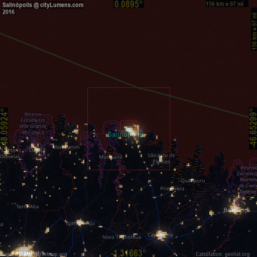
Analysis of Salinópolis night lights 2016
Square area 10x10 km:
 4.33%
4.33%90-99
5.63%80-89
11.69%70-79
2.16%60-69
1.52%50-59
4.76%40-49
5.84%30-39
2.6%20-29
5.84%10-19
26.62%0-9
29%Square area 50x50 km:
0.19%90-99
0.24%80-89
0.95%70-79
0.33%60-69
0.45%50-59
0.74%40-49
0.61%30-39
0.51%20-29
0.61%10-19
2.76%0-9
92.6%Clear (daylight) street map image can be seen on geolist.org.
Map coordinates:
0° 5' 22.2" North, 48° 3' 33.3" West
0° 36' 49" South, 47° 21' 22" West
1° 18' 59.9" South, 46° 39' 10.8" West
Some cities around Salinópolis sort by population:
• Bragança
81.9 km =50.9 mi,  126°
126°
• Capanema
67.6 km =42 mi,  163°
163°
• Igarapé Açu
64.4 km =40 mi,  207°
207°
• Maracanã
20.1 km =12.5 mi, 212°
• Curuçá
56.2 km =34.9 mi,  256°
256°
• Marapanim
39.9 km =24.8 mi,  253°
253°
• São João de Pirabas
26.8 km =16.7 mi, 132°
• São Caetano de Odivelas
75.4 km =46.9 mi, 258°
3389822 (p: 40,998)
Sources (retrieved 2019-11-25):
» Earth at Night: Flat Maps 2012, 2016