Bragança night lights from space
Night Light of Bragança (Pará) from space (Brazil) Src. Average luminocity for 10x10km area is 41.0563% and for 50x50km: 3.7255%.
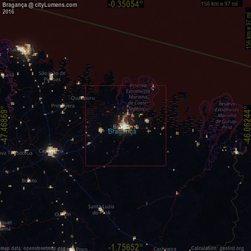
Analysis of Bragança night lights 2016
Square area 10x10 km:
 3.9%
3.9%90-99
6.49%80-89
10.39%70-79
3.68%60-69
3.03%50-59
7.36%40-49
8.01%30-39
5.41%20-29
11.26%10-19
36.8%0-9
3.68%Square area 50x50 km:
0.16%90-99
0.29%80-89
0.8%70-79
0.23%60-69
0.32%50-59
0.73%40-49
1.06%30-39
0.61%20-29
0.91%10-19
2.78%0-9
92.11%Clear (daylight) street map image can be seen on geolist.org.
Map coordinates:
0° 21' 1.9" South, 47° 28' 7.3" West
1° 3' 13" South, 46° 45' 56" West
1° 45' 23.5" South, 46° 3' 44.8" West
Some cities around Bragança sort by population:
• Capanema
48.8 km =30.3 mi,  251°
251°
• Salinópolis
81.9 km =50.9 mi,  306°
306°
• Capitão Poço
83.7 km =52 mi,  202°
202°
• Viseu
71.3 km =44.3 mi,  102°
102°
• Augusto Corrêa
14.9 km =9.3 mi,  76°
76°
• Maracanã
82.9 km =51.5 mi,  292°
292°
• São João de Pirabas
55.3 km =34.4 mi,  304°
304°
• Ourém
67.6 km =42 mi,  214°
214°
3405006 (p: 57,163)
Sources (retrieved 2019-11-25):
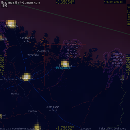
» NASA, Earths city lights 1995
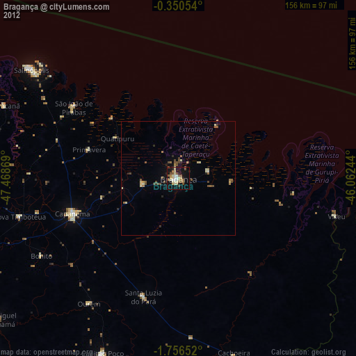
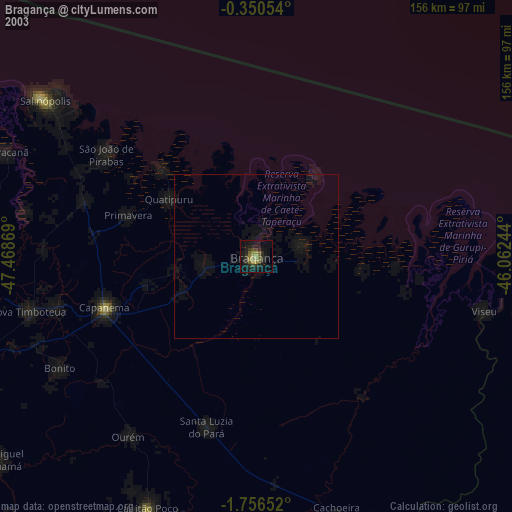
» NASA city lights 2003
» Earth at Night: Flat Maps 2012, 2016