Marechal Deodoro night lights from space
Night Light of Marechal Deodoro (Alagoas) from space (Brazil) Src. Average luminocity for 10x10km area is 34.4481% and for 50x50km: 21.6931%.
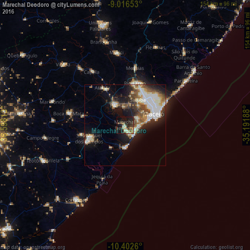
Analysis of Marechal Deodoro night lights 2016
Square area 10x10 km:
 0.65%
0.65%90-99
8.66%80-89
3.25%70-79
2.6%60-69
6.28%50-59
6.71%40-49
2.81%30-39
8.01%20-29
18.61%10-19
27.06%0-9
15.37%Square area 50x50 km:
3.75%90-99
6.06%80-89
1.51%70-79
1.84%60-69
2.34%50-59
3.05%40-49
3.44%30-39
3.34%20-29
5.13%10-19
10.78%0-9
58.75%Clear (daylight) street map image can be seen on geolist.org.
Map coordinates:
9° 0' 59.5" South, 36° 35' 53.3" West
9° 42' 37" South, 35° 53' 42" West
10° 24' 9.4" South, 35° 11' 30.8" West
Some cities around Marechal Deodoro sort by population:
• Maceió
18.2 km =11.3 mi,  74°
74°
• Rio Largo
26.2 km =16.3 mi,  10°
10°
• São Miguel dos Campos
23.1 km =14.4 mi,  250°
250°
• Pilar
14.3 km =8.9 mi,  331°
331°
• Atalaia
27.1 km =16.8 mi, 328°
• Satuba
18.1 km =11.2 mi,  25°
25°
• Capela
38.9 km =24.2 mi, 329°
• Messias
36.8 km =22.9 mi, 9°
3395395 (p: 50,571)
Sources (retrieved 2019-11-25):
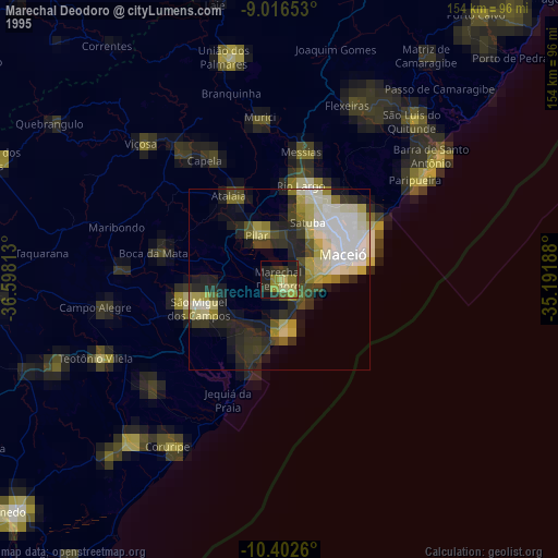
» NASA, Earths city lights 1995
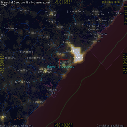
» NASA city lights 2003
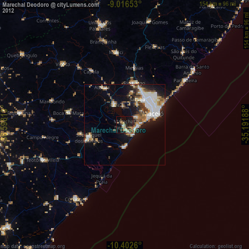
» Earth at Night: Flat Maps 2012, 2016