Rio Branco do Sul night lights from space
Night Light of Rio Branco do Sul (Paraná) from space (Brazil) Src. Average luminocity for 10x10km area is 34.1131% and for 50x50km: 15.5152%.
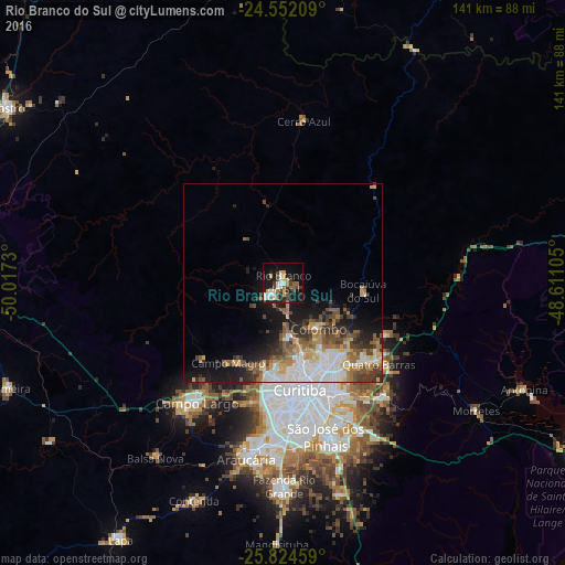
Analysis of Rio Branco do Sul night lights 2016
Square area 10x10 km:
 4.56%
4.56%90-99
6.35%80-89
4.56%70-79
5.16%60-69
2.18%50-59
4.56%40-49
5.75%30-39
4.96%20-29
5.75%10-19
33.33%0-9
22.82%Square area 50x50 km:
2.8%90-99
2.88%80-89
1.5%70-79
2.04%60-69
2.18%50-59
2.88%40-49
2.31%30-39
2.23%20-29
2.87%10-19
7.83%0-9
70.48%Clear (daylight) street map image can be seen on geolist.org.
Map coordinates:
24° 33' 7.5" South, 50° 1' 2.3" West
25° 11' 24" South, 49° 18' 51" West
25° 49' 28.5" South, 48° 36' 39.8" West
Some cities around Rio Branco do Sul sort by population:
• Curitiba
26.8 km =16.7 mi,  171°
171°
• Colombo
14.5 km =9 mi,  141°
141°
• Pinhais
30.8 km =19.1 mi,  156°
156°
• Campo Largo
37 km =23 mi,  215°
215°
• Almirante Tamandaré
15 km =9.3 mi,  178°
178°
• Campina Grande do Sul
29 km =18 mi,  116°
116°
• Itaperuçu
4.7 km =2.9 mi,  225°
225°
• Quatro Barras
30.8 km =19.1 mi,  129°
129°
3451242 (p: 26,441)
Sources (retrieved 2019-11-25):
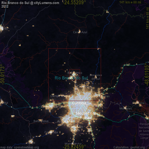
» Earth at Night: Flat Maps 2012, 2016