Campo Largo night lights from space
Night Light of Campo Largo (Paraná) from space (Brazil) Src. Average luminocity for 10x10km area is 55.5496% and for 50x50km: 21.7709%.
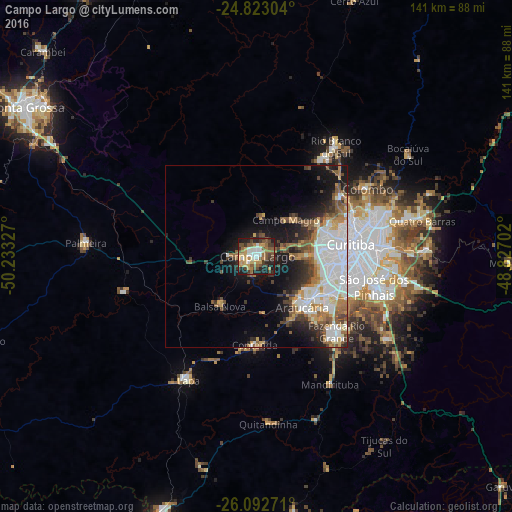

Analysis of Campo Largo night lights 2016
Square area 10x10 km:
 7.14%
7.14%90-99
9.13%80-89
6.55%70-79
12.3%60-69
8.53%50-59
12.9%40-49
8.93%30-39
10.12%20-29
13.49%10-19
10.91%0-9
0%Square area 50x50 km:
5.5%90-99
4.24%80-89
1.7%70-79
2.61%60-69
2.78%50-59
3.55%40-49
2.61%30-39
2.54%20-29
3.91%10-19
9.33%0-9
61.24%Clear (daylight) street map image can be seen on geolist.org.
Map coordinates:
24° 49' 22.9" South, 50° 13' 59.8" West
25° 27' 34.4" South, 49° 31' 48.5" West
26° 5' 33.8" South, 48° 49' 37.3" West
Some cities around Campo Largo sort by population:
• Curitiba
26.1 km =16.2 mi,  82°
82°
• Colombo
36 km =22.4 mi,  58°
58°
• São José dos Pinhais
33.2 km =20.6 mi,  103°
103°
• Pinhais
33.9 km =21.1 mi,  87°
87°
• Araucária
19.1 km =11.9 mi,  140°
140°
• Almirante Tamandaré
26.7 km =16.6 mi, 55°
• Itaperuçu
32.3 km =20.1 mi,  34°
34°
• Rio Branco do Sul
37 km =23 mi,  35°
35°
3467736 (p: 94,668)
Sources (retrieved 2019-11-25):
» NASA, Earths city lights 1995
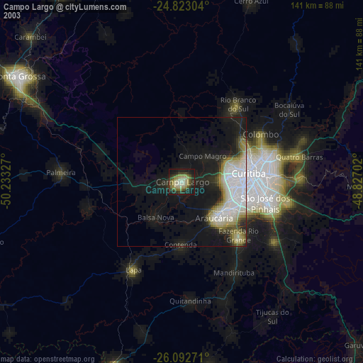
» NASA city lights 2003
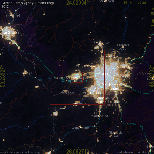
» Earth at Night: Flat Maps 2012, 2016