Curitiba night lights from space
Night Light of Curitiba (Paraná) from space (Brazil) Src. Average luminocity for 10x10km area is 99.0139% and for 50x50km: 45.3904%.
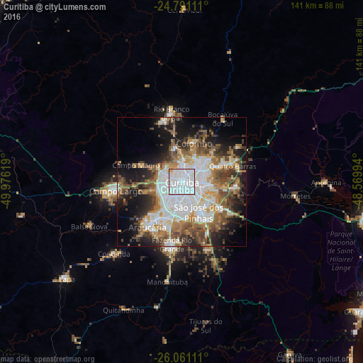
Analysis of Curitiba night lights 2016
Square area 10x10 km:
 69.64%
90-99
27.98%80-89
1.19%70-79
1.19%60-69
0%50-59
0%40-49
0%30-39
0%20-29
0%10-19
0%0-9
0%Square area 50x50 km:
13.15%90-99
9.07%80-89
3.4%70-79
5.18%60-69
6.11%50-59
7.11%40-49
6.12%30-39
5.71%20-29
6.9%10-19
12.98%0-9
24.28%Clear (daylight) street map image can be seen on geolist.org.
Map coordinates:
24° 47' 28" South, 49° 58' 34.3" West
25° 25' 40" South, 49° 16' 23" West
26° 3' 40" South, 48° 34' 11.8" West
Some cities around Curitiba sort by population:
• Colombo
15.9 km =9.9 mi,  17°
17°
• São José dos Pinhais
13.1 km =8.1 mi,  150°
150°
• Pinhais
8.3 km =5.2 mi,  103°
103°
• Araucária
23 km =14.3 mi,  216°
216°
• Almirante Tamandaré
12 km =7.5 mi,  342°
342°
• Piraquara
20.7 km =12.9 mi,  94°
94°
• Itaperuçu
24.3 km =15.1 mi, 341°
• Quatro Barras
20.9 km =13 mi,  70°
70°
3464975 (p: 1,718,421)
Sources (retrieved 2019-11-25):
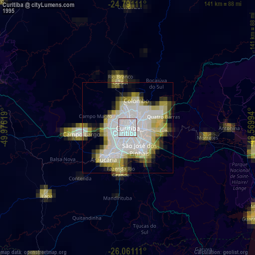
» NASA, Earths city lights 1995
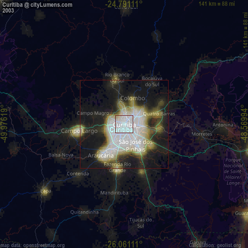
» NASA city lights 2003
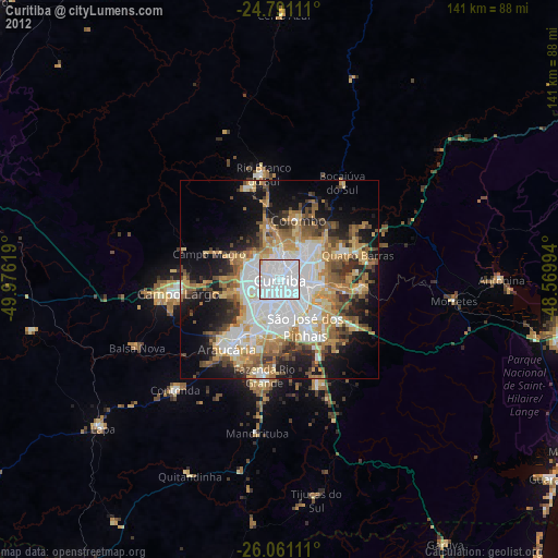
» Earth at Night: Flat Maps 2012, 2016