Campina Grande do Sul night lights from space
Night Light of Campina Grande do Sul (Paraná) from space (Brazil) Src. Average luminocity for 10x10km area is 20.9405% and for 50x50km: 23.6323%.
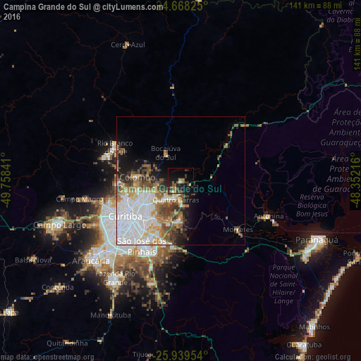
Analysis of Campina Grande do Sul night lights 2016
Square area 10x10 km:
 0%
0%90-99
1.59%80-89
1.39%70-79
1.59%60-69
4.96%50-59
6.15%40-49
2.18%30-39
8.13%20-29
8.13%10-19
22.82%0-9
43.06%Square area 50x50 km:
7.98%90-99
4.47%80-89
1.86%70-79
2.45%60-69
3.12%50-59
3.18%40-49
2.87%30-39
2.67%20-29
2.86%10-19
5.37%0-9
63.19%Clear (daylight) street map image can be seen on geolist.org.
Map coordinates:
24° 40' 5.7" South, 49° 45' 30.3" West
25° 18' 20" South, 49° 3' 19" West
25° 56' 22.3" South, 48° 21' 7.8" West
Some cities around Campina Grande do Sul sort by population:
• Curitiba
25.8 km =16 mi,  238°
238°
• Colombo
17 km =10.6 mi,  275°
275°
• São José dos Pinhais
29.3 km =18.2 mi,  211°
211°
• Pinhais
20.7 km =12.9 mi,  221°
221°
• Almirante Tamandaré
25.7 km =16 mi,  265°
265°
• Piraquara
15.3 km =9.5 mi,  184°
184°
• Rio Branco do Sul
29 km =18 mi,  296°
296°
• Quatro Barras
7 km =4.3 mi,  198°
198°
3467877 (p: 31,112)
Sources (retrieved 2019-11-25):
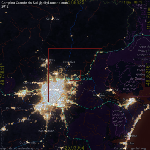
» Earth at Night: Flat Maps 2012, 2016