Barra do Garças night lights from space
Night Light of Barra do Garças (Mato Grosso) from space (Brazil) Src. Average luminocity for 10x10km area is 50.026% and for 50x50km: 3.3539%.
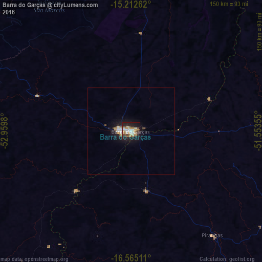
Analysis of Barra do Garças night lights 2016
Square area 10x10 km:
 7.79%
7.79%90-99
11.26%80-89
6.71%70-79
12.34%60-69
2.81%50-59
4.76%40-49
6.71%30-39
6.28%20-29
14.72%10-19
24.68%0-9
1.95%Square area 50x50 km:
0.46%90-99
0.66%80-89
0.32%70-79
0.7%60-69
0.14%50-59
0.26%40-49
0.46%30-39
0.29%20-29
0.84%10-19
3.28%0-9
92.61%Clear (daylight) street map image can be seen on geolist.org.
Map coordinates:
15° 12' 45.4" South, 52° 57' 35.3" West
15° 53' 24" South, 52° 15' 24" West
16° 33' 54.4" South, 51° 33' 12.8" West
Some cities around Barra do Garças sort by population:
• Iporá
136.2 km =84.6 mi,  116°
116°
• Nova Xavantina
136.7 km =84.9 mi,  355°
355°
• Aragarças
1 km =0.6 mi,  143°
143°
• Caiapônia
127.8 km =79.4 mi,  158°
158°
• Guiratinga
168.6 km =104.8 mi,  252°
252°
• Piranhas
75.6 km =47 mi, 142°
• Alto Araguaia
188.5 km =117.1 mi,  212°
212°
• Itapirapuã
175.9 km =109.3 mi,  87°
87°
3470709 (p: 52,398)
Sources (retrieved 2019-11-25):
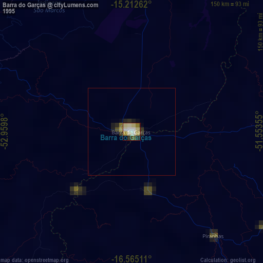
» NASA, Earths city lights 1995
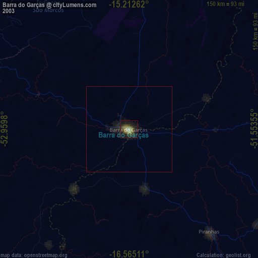
» NASA city lights 2003
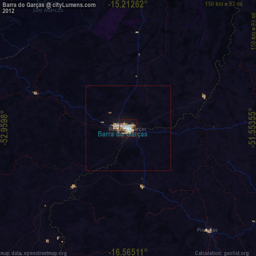
» Earth at Night: Flat Maps 2012, 2016