Piracaia night lights from space
Night Light of Piracaia (São Paulo) from space (Brazil) Src. Average luminocity for 10x10km area is 14.6171% and for 50x50km: 15.2523%.
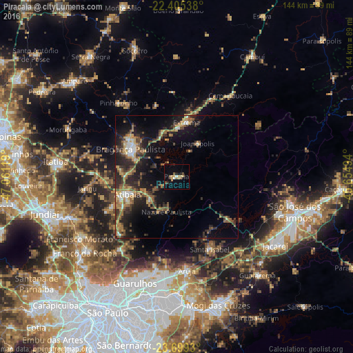
Analysis of Piracaia night lights 2016
Square area 10x10 km:
 0.2%
0.2%90-99
1.39%80-89
3.37%70-79
2.98%60-69
0.6%50-59
3.17%40-49
1.59%30-39
1.19%20-29
3.17%10-19
1.98%0-9
80.36%Square area 50x50 km:
0.87%90-99
1.47%80-89
1.91%70-79
2.21%60-69
2.6%50-59
3.13%40-49
2.32%30-39
3.33%20-29
5.69%10-19
10.62%0-9
65.85%Clear (daylight) street map image can be seen on geolist.org.
Map coordinates:
22° 24' 19.4" South, 47° 3' 40.3" West
23° 3' 14" South, 46° 21' 29" West
23° 41' 57.5" South, 45° 39' 17.8" West
Some cities around Piracaia sort by population:
• Bragança Paulista
22.1 km =13.7 mi,  300°
300°
• Atibaia
20.9 km =13 mi,  250°
250°
• Arujá
38.2 km =23.7 mi,  174°
174°
• Mairiporã
37.6 km =23.4 mi,  218°
218°
• Santa Isabel
32.3 km =20.1 mi,  154°
154°
• Extrema
22.5 km =14 mi,  10°
10°
• Bom Jesus dos Perdões
14.2 km =8.8 mi,  230°
230°
• Joanópolis
16.1 km =10 mi,  31°
31°
3453661 (p: 26,075)
Sources (retrieved 2019-11-25):
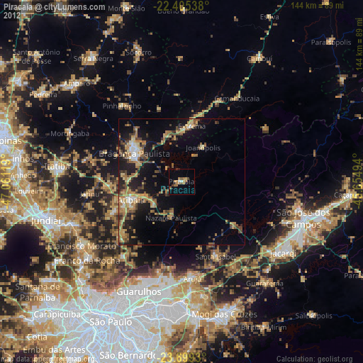
» Earth at Night: Flat Maps 2012, 2016